Collection: Kayak Charts

Navigating the Salish Sea in a kayak shouldn't feel like deciphering ancient scrolls—and thanks to Sea Trails, it doesn't. Their series of waterproof kayak charts for the Puget Sound, San Juan Islands, WA Coast, and British Columbia is basically the Swiss Army knife of marine maps.
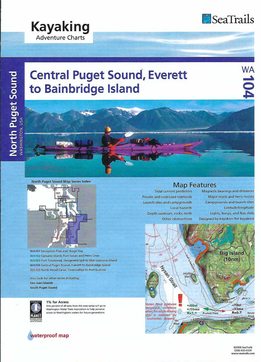
These gems come loaded with ebb & flood arrows (so you don’t paddle backwards for two hours), put-ins, campsites, bearings, distances, depths, and probably everything short of a coffee recommendation. Imagine if a marine chart, a topo map, a current atlas, and your favorite guidebook had a baby—and that baby was a navigation prodigy. Add in 3-D shaded relief, sea floor profiles, and a kayak-friendly scale, and you've got a chart that’s as handy as it is handsome.
Whether you're cruising the Strait of Juan de Fuca or island-hopping the San Juans, these paddle guides help you paddle smarter, not harder. Bonus: they're waterproof—like your kayak should be!
Click here to view a large Seatrails map index
-
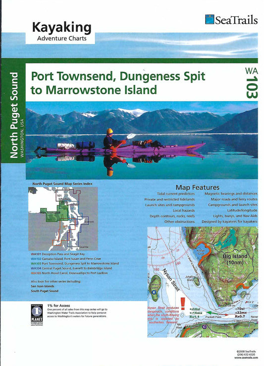
Port Townsend, Dungeness Spit to Marrowstone Island Paddling Map WA103
Regular price $21.95 USDRegular priceUnit price per -
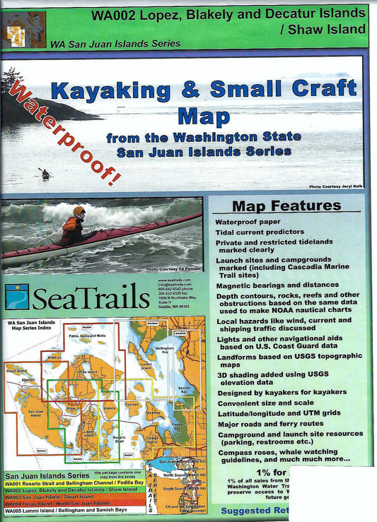
Lopez, Blakely, Decatur & Shaw Islands Paddling Map WA002
Regular price $21.95 USDRegular priceUnit price per -
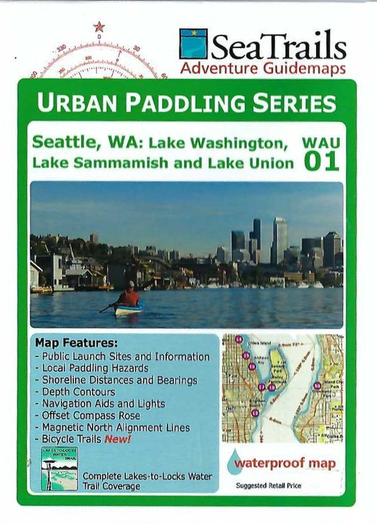
Lake Washington, Lake Sammamish & Lake Union Paddling Map WAU01
Regular price $14.95 USDRegular priceUnit price per -
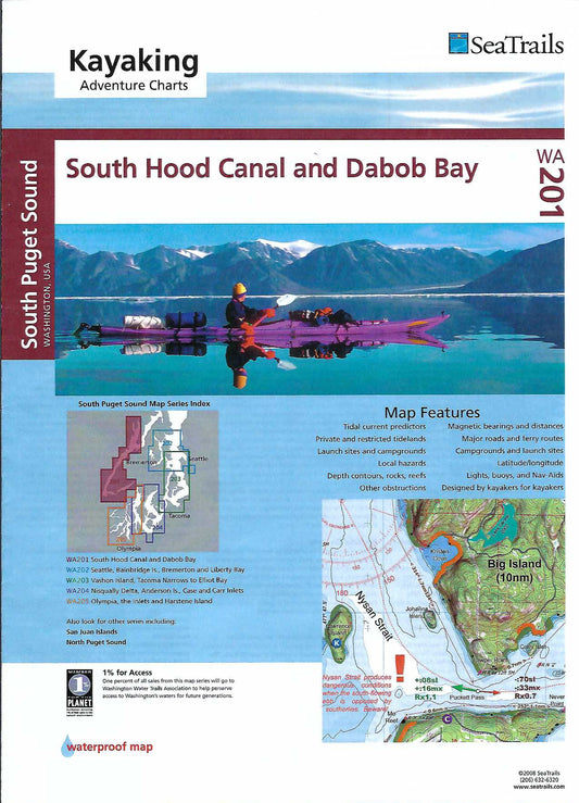
South Hood Canal & Dabob Bay Paddling Map WA201
Regular price $21.95 USDRegular priceUnit price per -
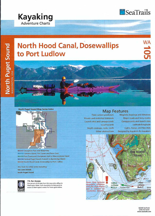
North Hood Canal, Dosewallips to Port Ludlow Paddling Map WA105
Regular price $21.95 USDRegular priceUnit price per -
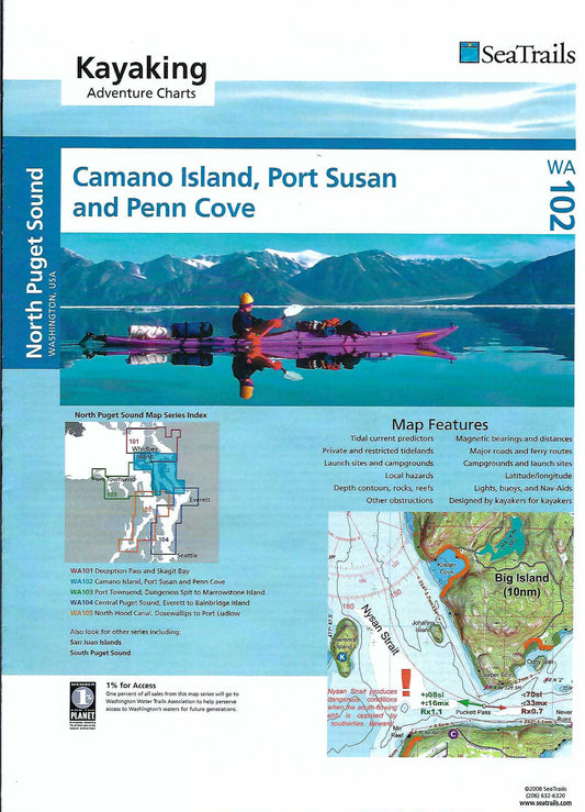
Camano Island, Port Susan & Penn Cove Paddling Map WA102
Regular price $21.95 USDRegular priceUnit price per -
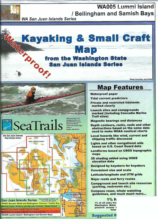
Lummi Island, Bellingham & Samish Bays Paddling Map WA005
Regular price $21.95 USDRegular priceUnit price per -
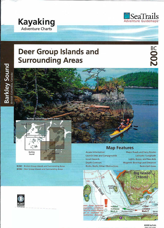
Barkley Sound - Deer Group Islands Paddling Map BC002
Regular price $23.95 USDRegular priceUnit price per -
Central Puget Sound, Everett to Bainbridge Island Paddling Map WA104
Regular price $21.95 USDRegular priceUnit price per