SeaTrails
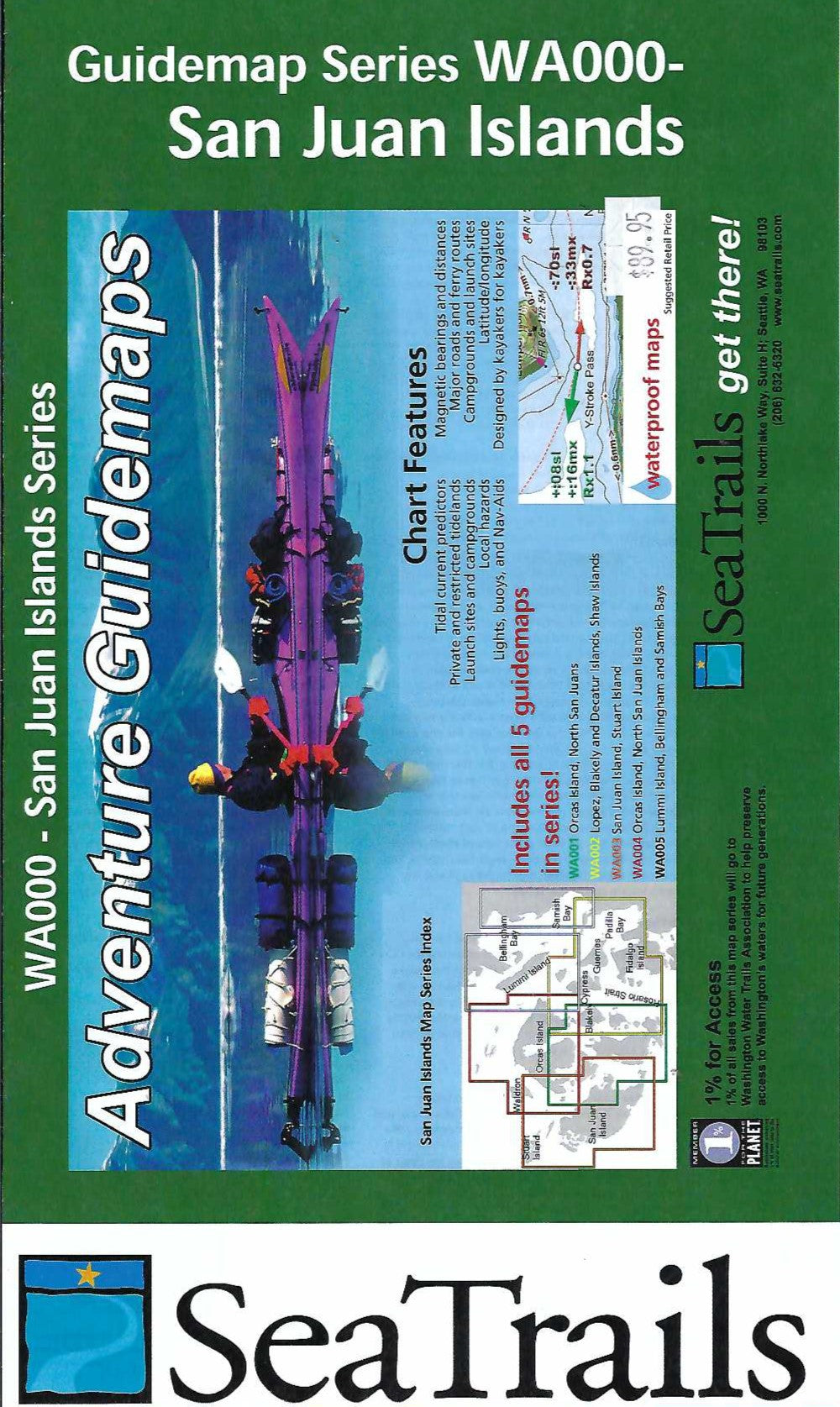
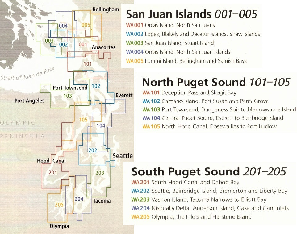
San Juan Islands Paddling Map Set WA000
San Juan Islands Paddling Map Set WA000
Couldn't load pickup availability
Share
The WA000 set includes maps WA001, WA002, WA003, WA004, and WA005.
Explore the stunning Pacific Northwest with the San Juan Islands Kayaking Adventure Charts 5 Map Set by SeaTrails—your ultimate paddling companion for the waters of the San Juan Islands and Bellingham Bay. These waterproof, compact charts are made just for sea kayakers and packed with everything you need, including launch points, campsites, hazards, buoys, and ferry routes.
Cruise past iconic spots like Lime Kiln Point, known for orca sightings, or set up camp on Jones Island after a paddle through Haro Strait. Plan your perfect route to Roche Harbor with handy shoreline distances and bearings marked on each chart. With detailed depth contours, reefs, and navigational aids, you’ll stay on course and safe while soaking up the island magic. Just strap it to your deck and go.
SKU: SKU:SEAWA000
View full details