-
1877 Nez Perce Flight National Historic Trail Map
Regular price $19.95 USDRegular priceUnit price per -
Angeles National Forest & San Gabriel Mountains USFS Map
Regular price $19.95 USDRegular priceUnit price per -
Beaverhead - Deerlodge National Forest - Central Region USFS Map
Regular price $19.95 USDRegular priceUnit price per -
Beaverhead - Deerlodge National Forest - North Region USFS Map
Regular price $19.95 USDRegular priceUnit price per -
Beaverhead - Deerlodge National Forest - South Region USFS Map
Regular price $19.95 USDRegular priceUnit price per -
Bitterroot National Forest - North Half National Forest Service Map
Regular price $19.95 USDRegular priceUnit price per -
Bitterroot National Forest - South Half National Forest Service Map
Regular price $19.95 USDRegular priceUnit price per -
Bob Marshall, Great Bear & Scapegoat Wilderness Areas USFS Map
Regular price $19.95 USDRegular priceUnit price per -
Boise National Forest Service Map
Regular price $19.95 USDRegular priceUnit price per -
 Sold out
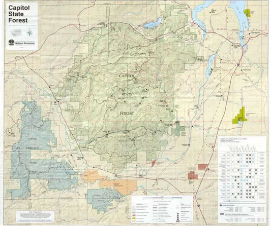
Capitol State Forest Recreation Map
Regular price $18.00 USDRegular priceUnit price per -
Caribou-Targhee National Forests Ashton-Island Park RD USFS Map
Regular price $19.95 USDRegular priceUnit price per -
Caribou-Targhee National Forests Dubois Ranger District USFS Map
Regular price $19.95 USDRegular priceUnit price per -
Caribou-Targhee National Forests Westside Ranger District USFS Map
Regular price $19.95 USDRegular priceUnit price per -
Chugach National Forest Service Map
Regular price $19.95 USDRegular priceUnit price per -
Clearwater National Forest - Nez Perce-Clearwater Forest Service Map
Regular price $19.95 USDRegular priceUnit price per -
Cleveland National Forest Service Map
Regular price $19.95 USDRegular priceUnit price per -
Columbia River Gorge National Scenic Area Recreation Map
Regular price $19.95 USDRegular priceUnit price per -
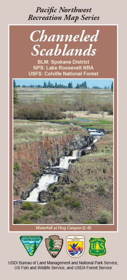
Colville National Forest - Channeled Scablands Forest Service Map
Regular price $19.95 USDRegular priceUnit price per -
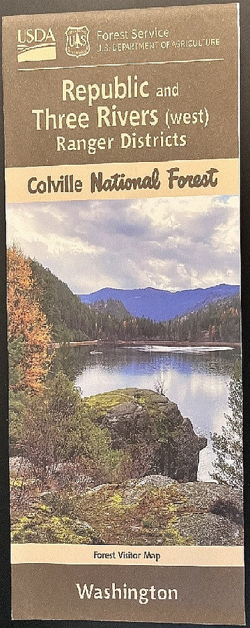
Colville National Forest - Republic & Three Rivers RD's USFS Map
Regular price $19.95 USDRegular priceUnit price per -
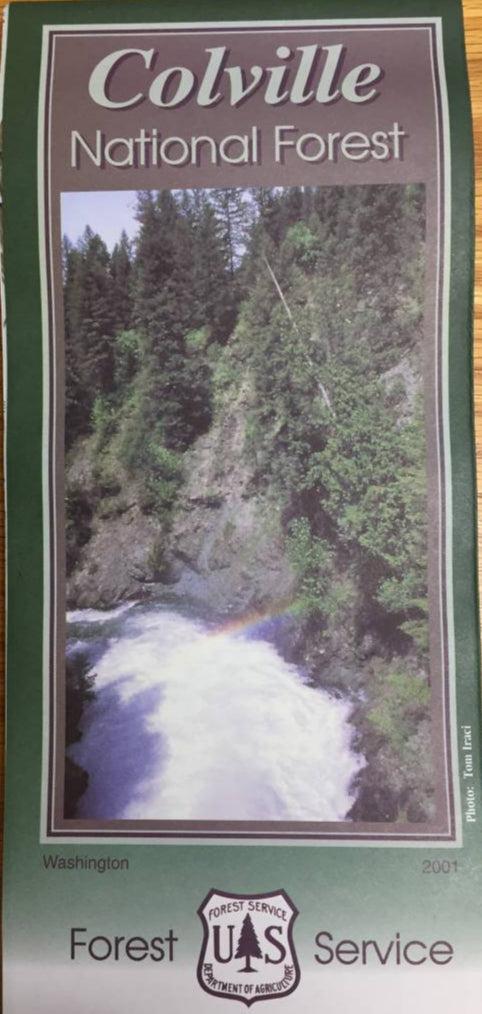
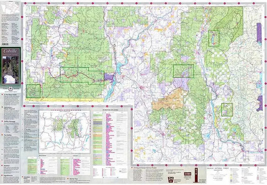
Colville National Forest Service Map
Regular price $19.95 USDRegular priceUnit price per