

National Forest Service
Chugach National Forest Service Map
Chugach National Forest Service Map
Couldn't load pickup availability
Share
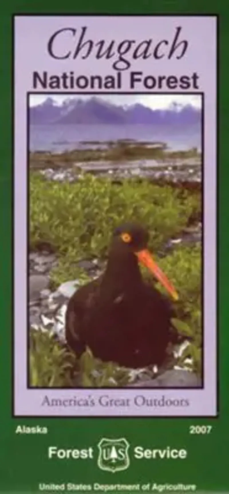
Discover the wild beauty of Alaska with the Chugach National Forest Service Map. Spanning the Kenai Peninsula, Prince William Sound, and the Copper River Delta, this detailed visitor map is your gateway to outdoor adventure.
Explore iconic attractions like Kenai Fjords National Park, Portage Glacier, and Childs Glacier. Spot diverse wildlife including moose, brown bears, bald eagles, and sea otters among towering spruce forests and colorful wildflower meadows. The map highlights campgrounds, picnic areas, and rental cabins, along with rivers, lakes, and topography shown in shaded relief. Essential for navigating roads, trails, and local communities, it also displays public and private land ownership.
Whether you're planning a hiking, fishing, or sightseeing trip, the Chugach National Forest map is your perfect guide to this breathtaking region of south-central Alaska. Start your adventure today!
SKU: SKU:NFAKC
View full details