

National Forest Service
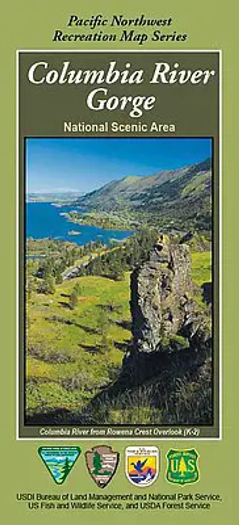
Columbia River Gorge National Scenic Area Recreation Map
Columbia River Gorge National Scenic Area Recreation Map
Couldn't load pickup availability
Share
Discover the natural beauty of the Columbia River Gorge National Scenic Area with this expertly crafted recreation map. Located along the border of Oregon and Washington, just east of Portland, the Gorge offers breathtaking vistas and abundant outdoor adventures.
Visit iconic Multnomah Falls, hike the scenic Eagle Creek Trail, or explore the windswept cliffs of Crown Point. The map highlights trails, waterfalls, campgrounds, and viewpoints. Lush forests of Douglas fir, bigleaf maple, and wildflower meadows are home to bald eagles, black-tailed deer, and countless songbirds.
Rich in history, the Gorge was a vital travel corridor for Native American tribes and Lewis & Clark’s expedition. Whether you're hiking, biking, or sightseeing, this map is your essential guide to experiencing the Gorge’s timeless beauty. Plan your trip today!
SKU: SKU:NFORCOL
View full details