

National Forest Service
Boise National Forest Service Map
Boise National Forest Service Map
Couldn't load pickup availability
Share
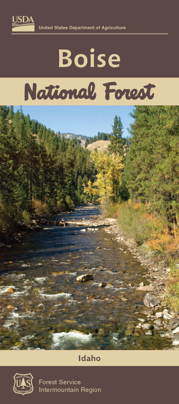
Discover the wild heart of central Idaho with the Boise National Forest Service Map, scaled at 1:126,720 for detailed adventure planning.
Covering over 2.5 million acres of rugged beauty, this map guides you to top attractions like Lucky Peak Reservoir for water recreation, Trinity Lakes for serene camping, and the historic Idaho City mining district where pioneers once struck gold. The forest is alive with Douglas fir, ponderosa pine, and fields of wildflowers, while elk, black bear, and bald eagles roam its diverse habitats. Established in 1908, Boise National Forest is steeped in history and rich in natural wonder, stretching from the Sawtooth Mountains to the Payette River.
Whether you’re hiking, fishing, or exploring old mining trails, this official U.S. Forest Service map ensures you’re ready for every turn of the trail. Your Idaho adventure starts here—don’t hit the woods without it!
SKU: SKU:NFIDB
View full details