

National Forest Service
Colville National Forest - Channeled Scablands Forest Service Map
Colville National Forest - Channeled Scablands Forest Service Map
Couldn't load pickup availability
Share
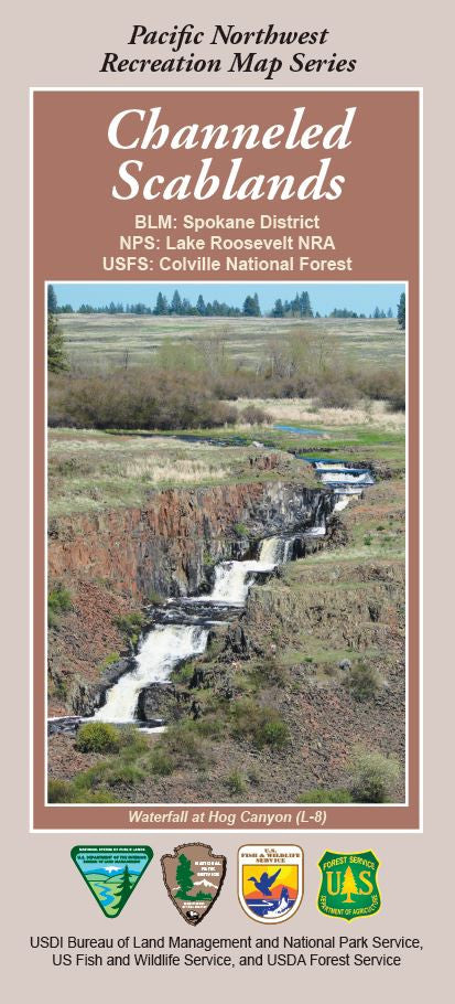
Discover the dramatic landscapes of eastern Washington and the Colville National Forest with the Channeled Scablands Map from the Pacific Northwest Recreation Map Series. Located between Spokane and the Columbia River, this fascinating region was carved by cataclysmic Ice Age floods.
Explore popular attractions like Palouse Falls State Park, Steptoe Butte, and Dry Falls—a former waterfall larger than Niagara. The map details scenic routes, hiking trails, and points of interest, making it easy to plan your adventure. Keep an eye out for wildlife such as mule deer, coyotes, and golden eagles, and admire the hardy wildflowers that brighten the rugged basalt terrain.
Whether you're a hiker, geologist, or road trip enthusiast, this map helps you uncover one of Washington’s most unique natural wonders. Plan your visit today and experience the awe-inspiring beauty of the Channeled Scablands!
SKU: SKU:NFWACHAN
View full details