National Forest Service
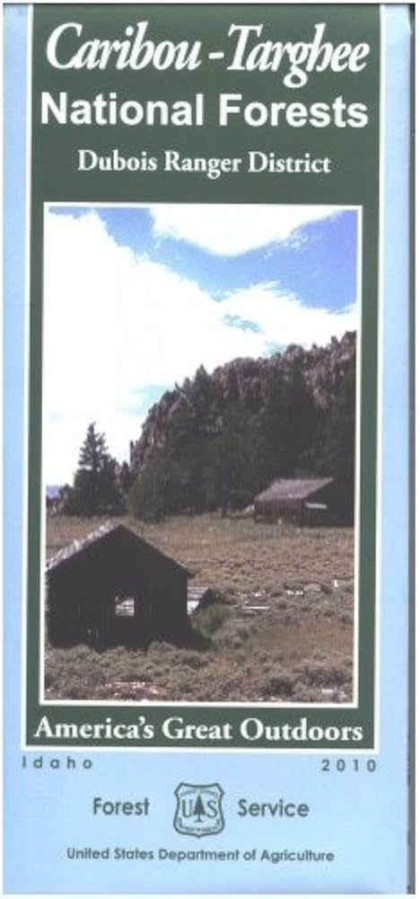
Caribou-Targhee National Forests Dubois Ranger District USFS Map
Caribou-Targhee National Forests Dubois Ranger District USFS Map
Couldn't load pickup availability
Share
Discover the breathtaking beauty of southeastern Idaho and western Wyoming with the Caribou-Targhee National Forests Dubois Ranger District Forest Service Map. This essential guide leads you through a landscape rich with outdoor adventures, from the towering peaks of Mount Leidy Highlands to the scenic Snake River and the wildlife haven of Grays Lake National Wildlife Refuge.
Explore dense forests of lodgepole pine, quaking aspen, and Douglas fir, while spotting elk, moose, bald eagles, and the occasional black bear. Nestled near the charming town of Dubois, Idaho, this region is a gateway to world-class hiking, fishing, camping, and wildlife viewing.
Perfect for planning your next adventure, this detailed map helps you navigate trails, backroads, and hidden gems. Whether you're a seasoned explorer or first-time visitor, the Dubois Ranger District invites you to experience the wild beauty of the American West.
SKU: SKU:NFIDCTD
View full details