

National Forest Service
Bitterroot National Forest - South Half National Forest Service Map
Bitterroot National Forest - South Half National Forest Service Map
Couldn't load pickup availability
Share
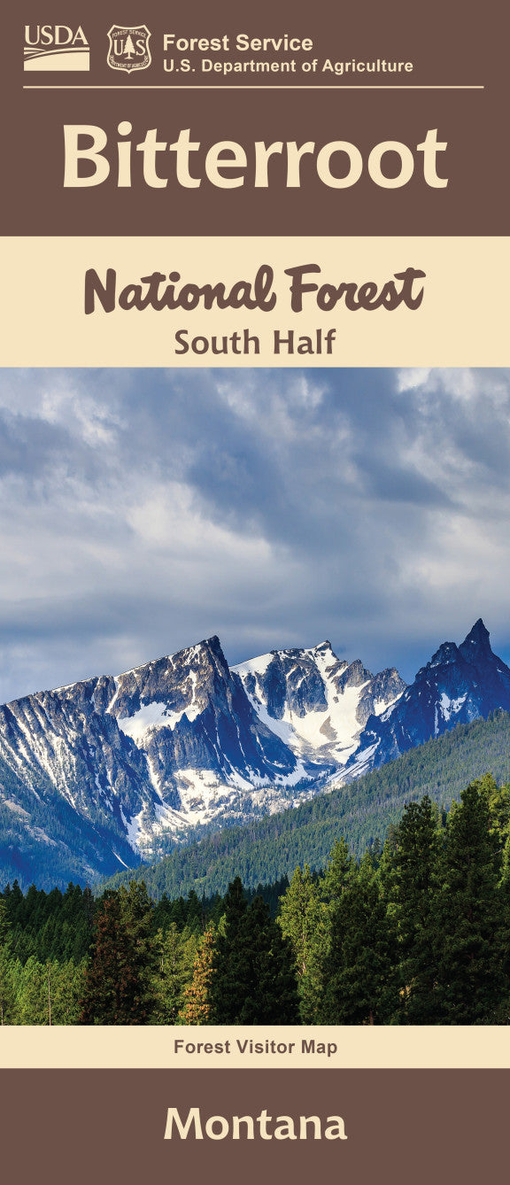
Discover the wild beauty of western Montana with the Bitterroot National Forest Service Map (South Half). Stretching along the Montana-Idaho border, this detailed map guides adventurers through rugged mountain terrain, alpine lakes, and dense forests.
Hike the scenic Blodgett Canyon, fish the crystal-clear Bitterroot River, or summit Trapper Peak, the tallest point in the Bitterroot Mountains. The area teems with wildlife—keep an eye out for elk, black bears, and bald eagles soaring overhead. Wildflower enthusiasts will love the bursts of lupine, Indian paintbrush, and beargrass in bloom.
Whether you're planning a backpacking trip, fishing excursion, or leisurely scenic drive, this map is an essential tool. Explore the Bitterroot Valley’s natural wonders and let the South Half map help you experience all this breathtaking region has to offer. Plan your visit today!
SKU: SKU:NFMTBISW
View full details