

National Forest Service
Angeles National Forest & San Gabriel Mountains USFS Map
Angeles National Forest & San Gabriel Mountains USFS Map
Couldn't load pickup availability
Share
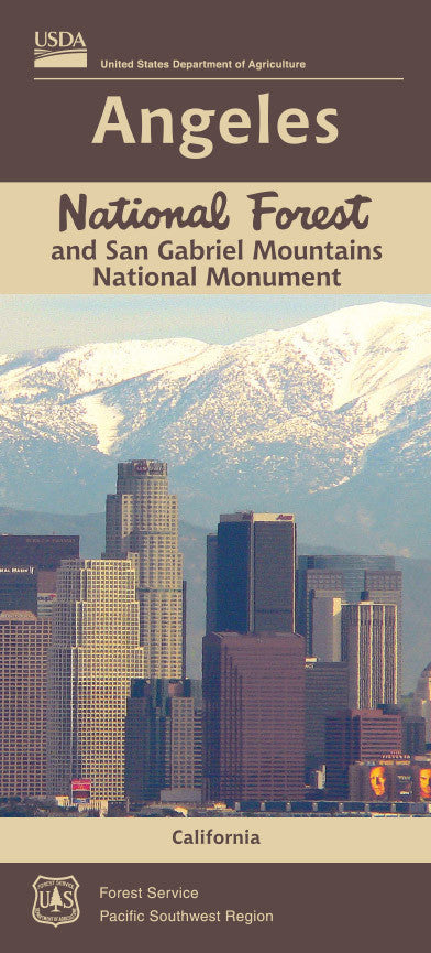
Discover the wild beauty of Southern California with the Angeles National Forest & San Gabriel Mountains National Forest Service Map. Just a short drive from Los Angeles, this vast natural playground offers something for every outdoor enthusiast.
Hike to the summit of Mount Baldy, the tallest peak in the range, for panoramic views. Explore the dramatic rock formations of Devil’s Punchbowl, or enjoy a scenic drive along the Angeles Crest Highway. This detailed, easy-to-read map helps you navigate miles of trails, campgrounds, picnic areas, and hidden gems.
Whether you're planning a day hike, weekend camping trip, or a refreshing escape from the city, this map is your perfect companion. Breathe in the mountain air, soak up the stunning vistas, and let your adventure begin!
SKU: SKU:NFCAA
View full details