SeaTrails
Nisqually Delta, Anderson Island, Case & Carr Inlets Paddling Map WA204
Nisqually Delta, Anderson Island, Case & Carr Inlets Paddling Map WA204
Couldn't load pickup availability
Share
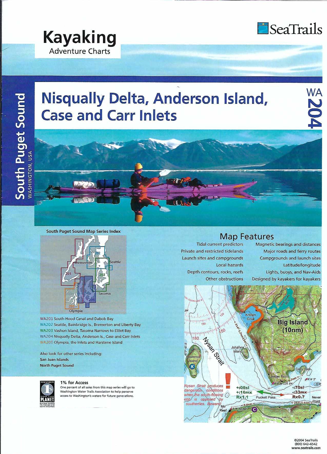
Explore Puget Sound with the Nisqually Delta, Anderson Island, Case & Carr Inlets Kayaking Adventure Chart by SeaTrails. Designed specifically for sea kayakers, this waterproof and compact map fits perfectly on your deck and includes essential details like launch points, campgrounds, hazards, buoys, and ferry routes.
Paddle through the pristine Nisqually National Wildlife Refuge, rich with birdlife and tidal marshes. Discover the quiet charm of Anderson Island, a paddler’s haven with scenic beaches and tranquil coves. Navigate the winding beauty of Case and Carr Inlets, where forested shorelines and hidden bays invite exploration.
With depth contours, navigational aids, and shoreline distances for selected routes, SeaTrails Charts are the perfect planning companion for your next adventure. Let this map guide you to the heart of Puget Sound’s wild serenity.
SKU: SKU:SEAWA204
View full details