

SeaTrails
Roadless Coast, Neah Bay to Ruby Beach Paddling Map WA302
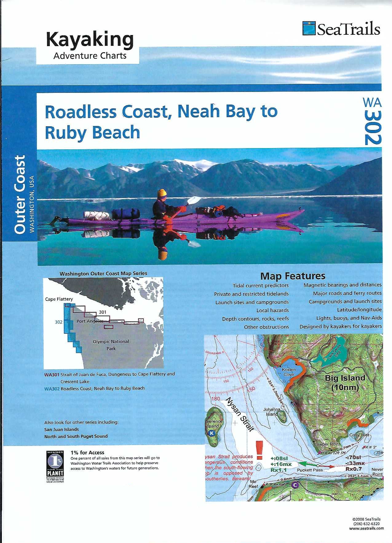
Roadless Coast, Neah Bay to Ruby Beach Paddling Map WA302
Couldn't load pickup availability
Share
Explore the wild beauty of Washington’s Olympic Peninsula with the Roadless Coast, Neah Bay to Ruby Beach Kayaking Adventure Chart by SeaTrails. This waterproof, compact paddling map is made just for sea kayakers, packed with vital info like launch points, campgrounds, hazards, and depth contours.
Paddle past the dramatic sea stacks of Shi Shi Beach, thread through the sea caves near Cape Flattery, and spot wildlife near the Hoh River estuary. The chart includes shoreline distances and bearings to help plan your route with ease. It also marks light and buoy locations, navigational aids, and ferry routes to keep your journey smooth and safe. Designed to fit right on your kayak deck, it’s the perfect companion for your next coastal adventure.
SKU: SKU:SEAWA302
View full details