SeaTrails
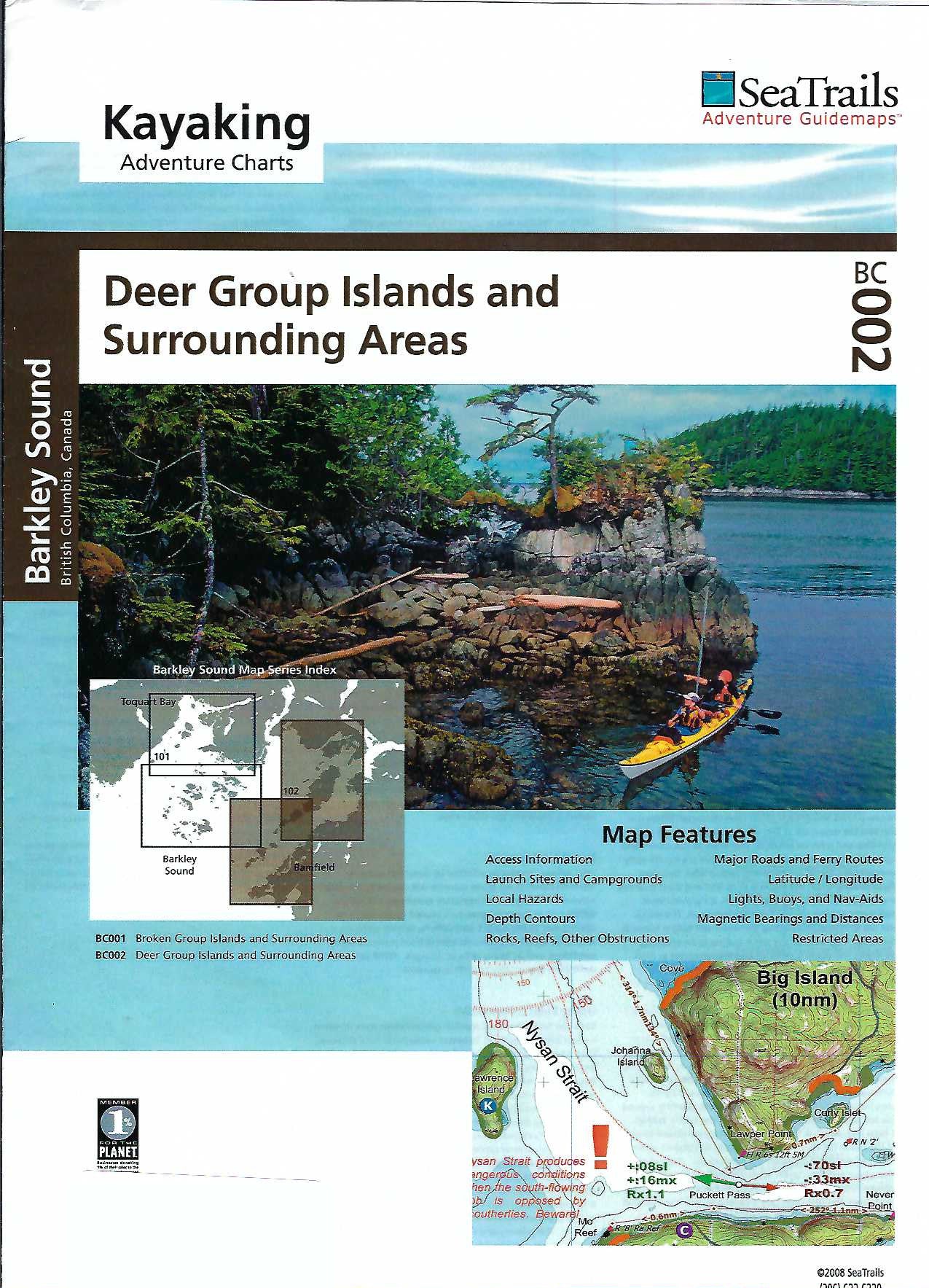
Barkley Sound - Deer Group Islands Paddling Map BC002
Barkley Sound - Deer Group Islands Paddling Map BC002
Couldn't load pickup availability
Share
Discover the rugged beauty of British Columbia’s west coast with the Barkley Sound - Deer Group Islands kayaking adventure chart by SeaTrails. Tailored for sea kayakers, this waterproof map highlights stunning paddling destinations like the serene coves of Diana Island, the cultural heritage of Bamfield, and the rich marine life around Eagle Bay.
SeaTrails Charts provide essential kayaking information including launch points, campgrounds, hazards, navigational aids, and depth contours. Shoreline distances and bearings simplify route planning, while light and buoy locations enhance navigation.
Compact and durable, the chart fits easily on your kayak deck—ready for any adventure. Whether you’re tracing the ancient routes of the Nuu-chah-nulth or exploring hidden beaches, this chart is your trusted guide through the wild, wave-carved wonders of the Deer Group Islands.
SKU: SKU:SEABC002
View full details