SeaTrails
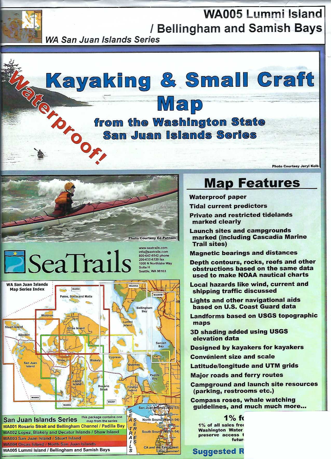
Lummi Island, Bellingham & Samish Bays Paddling Map WA005
Lummi Island, Bellingham & Samish Bays Paddling Map WA005
Couldn't load pickup availability
Share
The Lummi Island - Bellingham & Samish Bay Kayaking Adventure Chart by SeaTrails is your essential guide to exploring one of the scenic corners of the San Juan Islands chart series. Designed specifically for sea kayakers, this waterproof, compact chart details public launch points, campgrounds, and key paddling hazards.
Paddle along the rugged shoreline of Lummi Island, explore the vibrant marine life around Chuckanut Bay, or drift past the historic Larrabee State Park. The chart includes depth contours, light and buoy locations, navigational aids, and ferry routes to help ensure safe travel. Shoreline distances and bearings support efficient trip planning, while rocks and reefs are clearly marked for added safety.
This chart is both a tool and a trusted companion for your next kayaking adventure.
SKU: SKU:SEAWA005
View full details