SeaTrails
Vashon Island, Tacoma Narrows to Elliot Bay Paddling Map WA203
Vashon Island, Tacoma Narrows to Elliot Bay Paddling Map WA203
Couldn't load pickup availability
Share
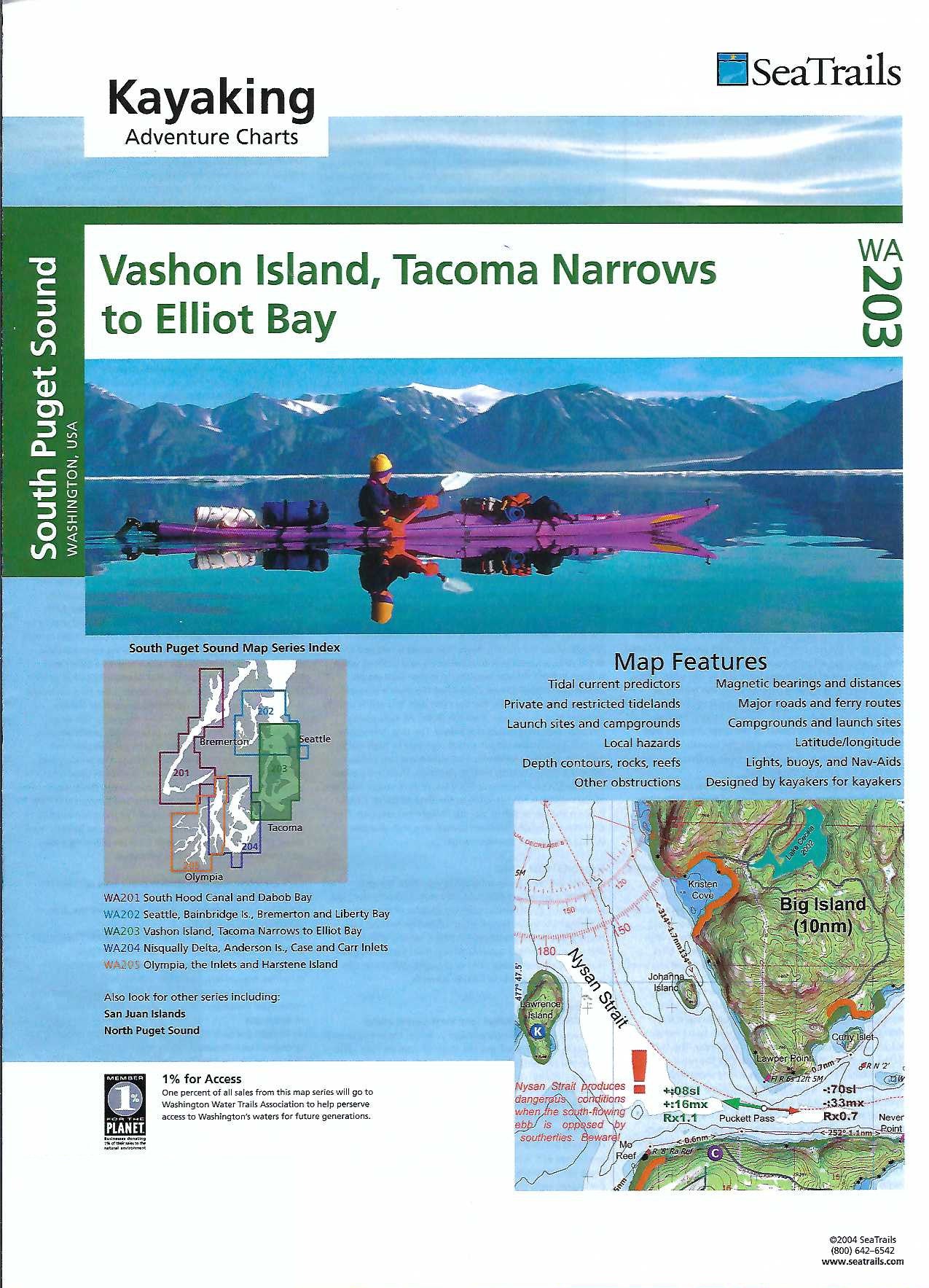
Explore Puget Sound like never before with the Vashon Island, Tacoma Narrows to Elliott Bay Kayaking Adventure Chart by SeaTrails. Designed with sea kayakers in mind, this waterproof map fits perfectly on your kayak deck and offers everything you need for a safe and unforgettable journey.
Paddle past the iconic Tacoma Narrows Bridge, explore the charming shoreline of Vashon Island, and glide into the heart of Seattle’s Elliott Bay with confidence. SeaTrails Charts highlight launch points, campgrounds, navigational aids, and potential hazards, plus ferry routes and underwater features like reefs and rocks.
Shoreline distances and route bearings help make trip planning a breeze. Whether you're day-tripping or setting up camp, this chart is your essential guide to adventure on Washington’s inland waters.
SKU: SKU:SEAWA203
View full details