SeaTrails
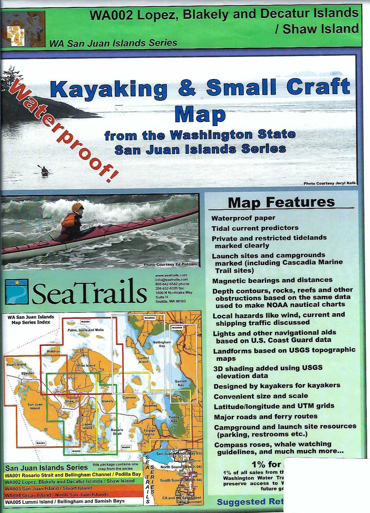
Lopez, Blakely, Decatur & Shaw Islands Paddling Map WA002
Lopez, Blakely, Decatur & Shaw Islands Paddling Map WA002
Couldn't load pickup availability
Share
Explore the beauty of Washington’s inland waters with the Lopez, Blakely, Decatur & Shaw Islands Kayaking Adventure Chart by SeaTrails, part of the renowned San Juan Islands series. Designed specifically for sea kayakers, this waterproof, compact map is packed with essential details like launch points, ferry routes, campsites, and navigational hazards.
Glide through the tranquil coves of Spencer Spit State Park, circle the rugged shoreline of Blakely Island, or paddle past the scenic cliffs of Decatur Head. Light and buoy locations, reefs, and depth contours ensure safe navigation, while shoreline distances and bearings help you plan memorable day trips or multi-day journeys.
Whether you're a seasoned paddler or new to the islands, this paddling chart is your ideal companion for discovering the hidden gems of the San Juans.
SKU: SKU:SEAWA002
View full details