SeaTrails
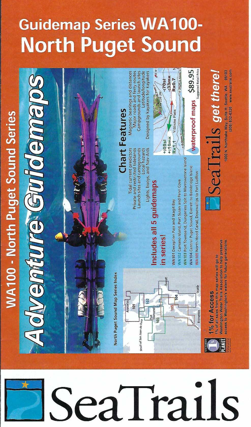
North Puget Sound Paddling Map Set WA100
North Puget Sound Paddling Map Set WA100
Couldn't load pickup availability
Share
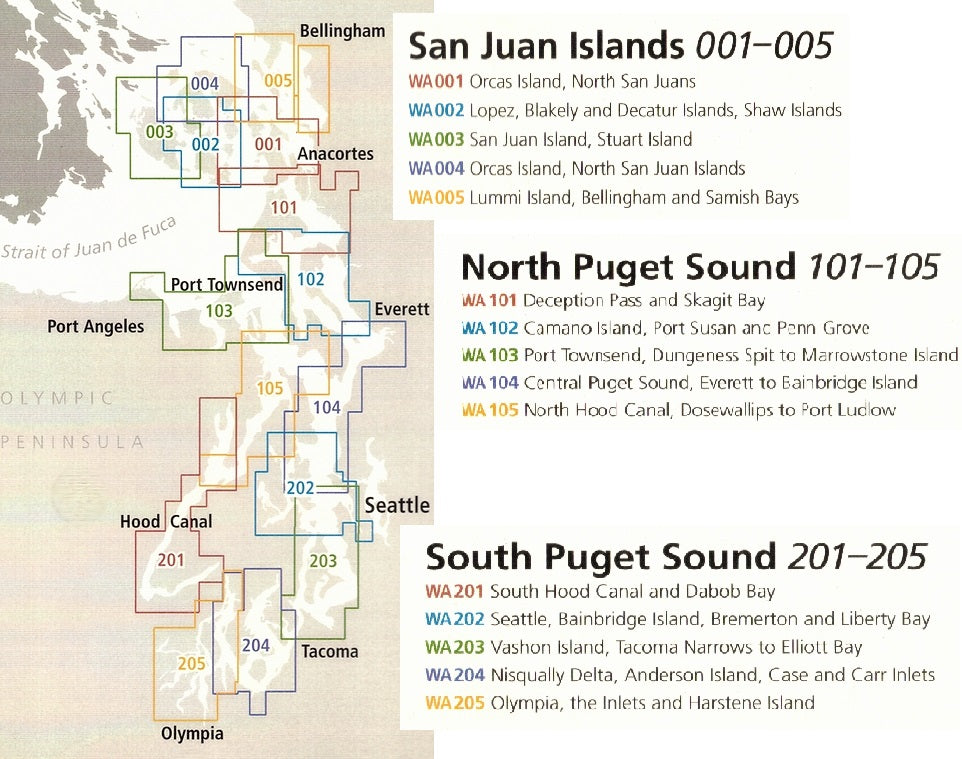
The WA100 set includes maps WA101, WA102, WA103, WA104, and WA105.
The North Puget Sound Kayaking Adventure Charts 5 Map Set by SeaTrails is a must-have for sea kayakers exploring the stunning waters from Deception Pass to North Seattle, including North Hood Canal.
Designed specifically for paddlers, these waterproof maps detail public launch points, campgrounds, paddling hazards, navigational aids, and more. Explore the dramatic cliffs of Deception Pass, paddle past the historic town of Port Gamble, or enjoy the quiet beauty of Skagit Bay.
Each chart includes shoreline distances and bearings to simplify trip planning. Rocks, reefs, light and buoy locations, and ferry routes are clearly marked to help ensure a safe, enjoyable experience. With a compact design made to fit right on your kayak deck, this map set is the ideal companion for your next Puget Sound adventure.
SKU: SKU:SEAWA100
View full details