

SeaTrails
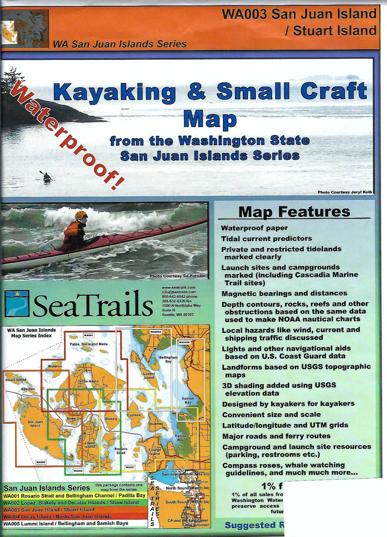
San Juan Island & Stuart Island Paddling Map WA003
San Juan Island & Stuart Island Paddling Map WA003
Couldn't load pickup availability
Share
Explore the stunning waterways of Washington’s San Juan and Stuart Islands with the SeaTrails Kayaking Adventure Chart, the perfect companion for sea kayakers. Discover hidden coves, paddle past the historic Turn Point Lighthouse, glide through the scenic channels near Jones Island, and spot seals lounging near Spieden Island.
This waterproof, compact map is packed with essential paddling information—launch points, campgrounds, hazards, buoys, and more—all designed with kayakers in mind. Shoreline distances and route bearings make trip planning a breeze, while detailed contours and ferry routes keep your navigation on point.
Whether you're charting a quick day trip or planning a multi-day island-hopping adventure, this chart fits right on your deck and helps you make the most of every paddle stroke.
SKU: SKU:SEAWA003
View full details