SeaTrails
Orcas Island & North San Juan Islands Paddling Map WA004
Orcas Island & North San Juan Islands Paddling Map WA004
Couldn't load pickup availability
Share
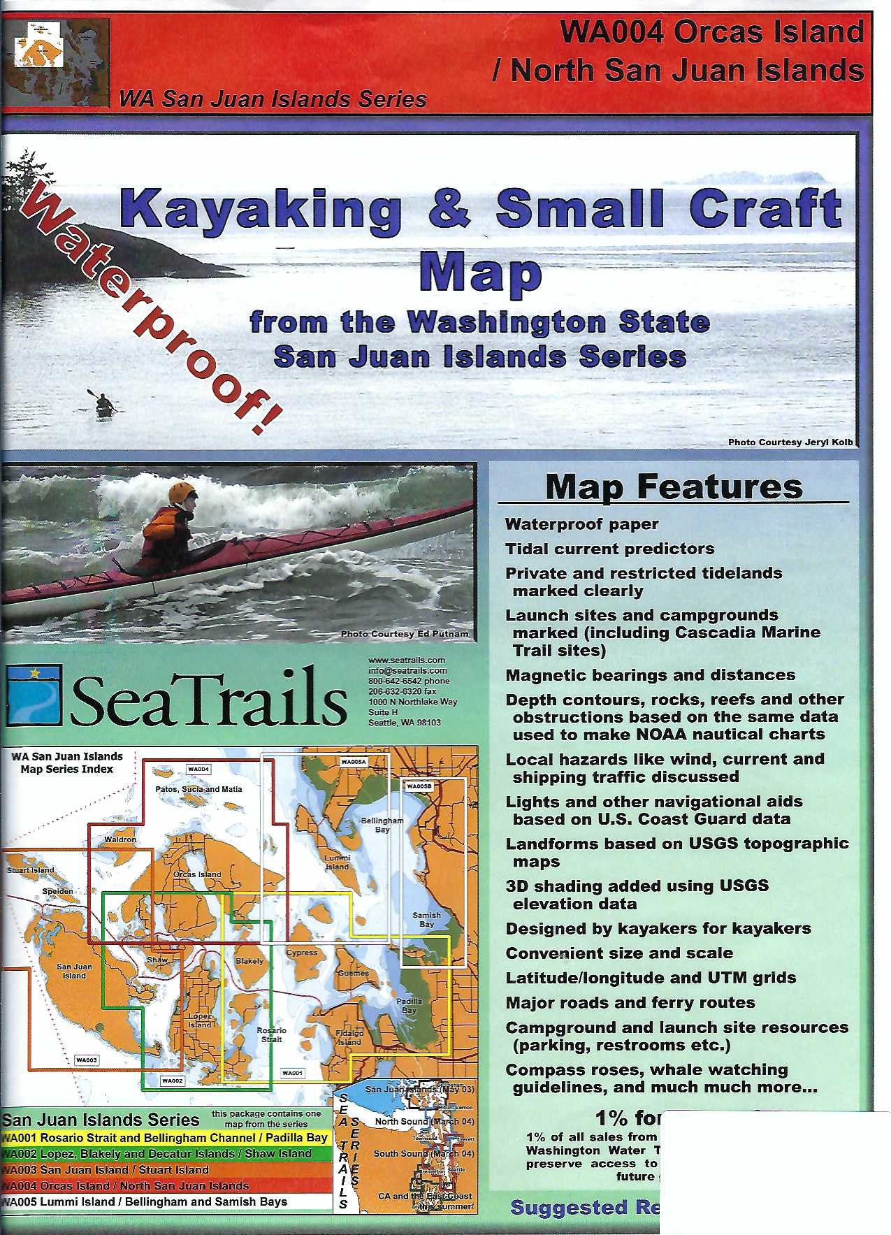
The Orcas Island & North San Juan Islands Kayaking Adventure Chart by SeaTrails is your essential guide to exploring one of the Pacific Northwest’s most scenic paddling destinations. Designed specifically for sea kayakers, this waterproof and compact chart includes detailed information on public launch points, campgrounds, hazards, light and buoy locations, and more.
Navigate with confidence as you paddle through the serene waters of Sucia Island, the rocky shorelines of Matia Island, and the protected bays around Orcas Island. With shoreline distances and bearings for selected routes, this map is ideal for both planning and on-the-water navigation. Depth contours, navigational aids, and ferry routes help ensure a safe and rewarding journey through the heart of the San Juan archipelago.
SKU: SKU:SEAWA004
View full details