SeaTrails
Port Townsend, Dungeness Spit to Marrowstone Island Paddling Map WA103
Port Townsend, Dungeness Spit to Marrowstone Island Paddling Map WA103
Couldn't load pickup availability
Share
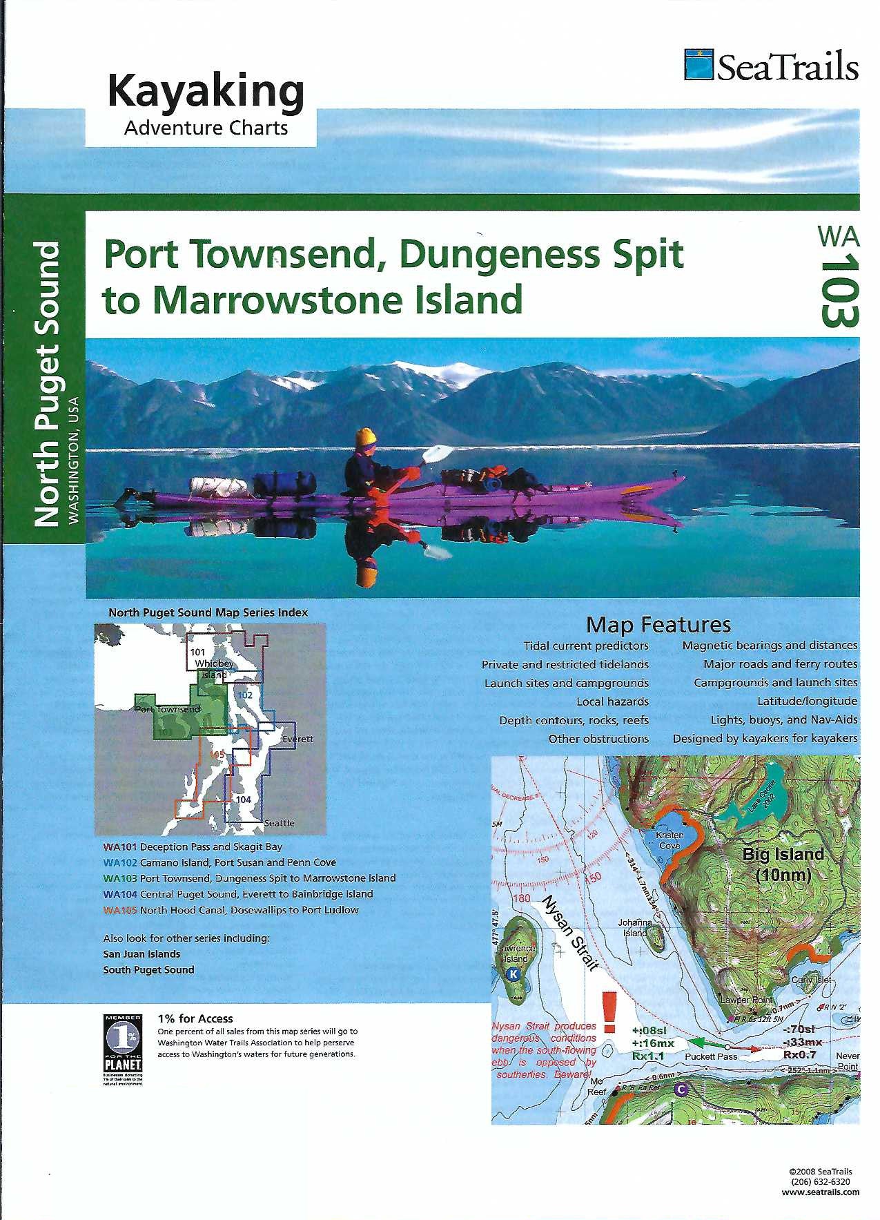
Paddle your way through the stunning waterways of Washington with the Port Townsend, Dungeness Spit to Marrowstone Island Kayaking Adventure Chart by SeaTrails. This waterproof, kayak-ready map is packed with must-see highlights like the historic town of Port Townsend, the dramatic stretch of Dungeness Spit, and the peaceful shores of Marrowstone Island.
Designed specifically for sea kayakers, SeaTrails Charts include vital info like launch points, campgrounds, hazards, buoys, and even ferry routes. Navigating is a breeze with shoreline distances and bearings to help plan your route. The compact size fits perfectly on your kayak deck, and the detailed depth contours and reef locations help you explore with confidence. Whether you're a weekend paddler or seasoned adventurer, this chart is your perfect on-the-water companion.
SKU: SKU:SEAWA103
View full details