-
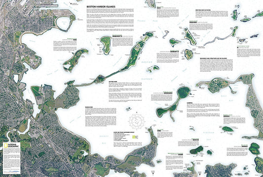
Boston Harbor Islands Trails Illustrated Topographic Map #265
Regular price $14.95 USDRegular priceUnit price per -
Boundary Waters Canoe Area Wilderness East Trails Illustrated Map #752
Regular price $14.95 USDRegular priceUnit price per -
Boundary Waters Canoe Area Wilderness West Trails Illustrated Map #753
Regular price $14.95 USDRegular priceUnit price per -
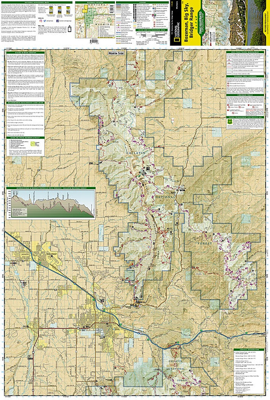
Bozeman, Big Sky, Bridger Range Trails Illustrated Topo Map #723
Regular price $14.95 USDRegular priceUnit price per -
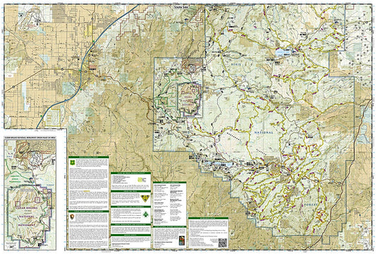
Bradshaw Mountains (Prescott NF) Trails Illustrated Topo Map #858
Regular price $14.95 USDRegular priceUnit price per -
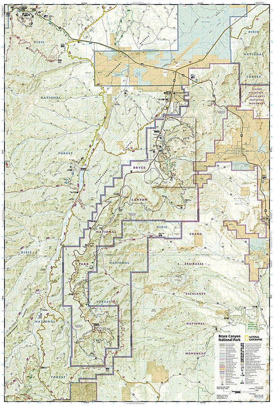
Bryce Canyon National Park Trails Illustrated Topographic Map #219
Regular price $14.95 USDRegular priceUnit price per -
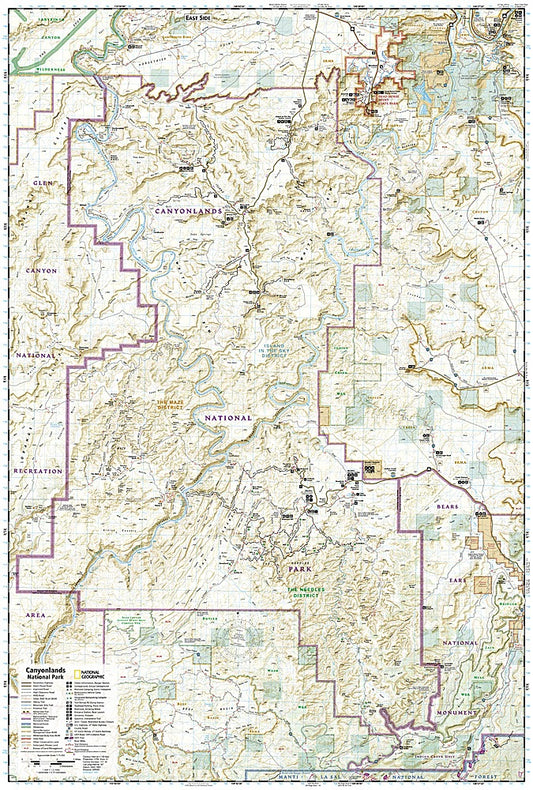
Canyonlands National Park Trails Illustrated Topographic Map #210
Regular price $14.95 USDRegular priceUnit price per -
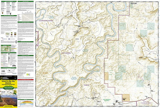
Canyonlands NP Island in the Sky District Trails Illustrated Map #310
Regular price $14.95 USDRegular priceUnit price per -
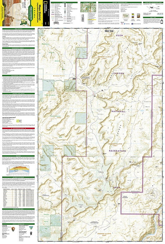
Canyonlands NP Maze District Trails Illustrated Topographic Map #312
Regular price $14.95 USDRegular priceUnit price per -
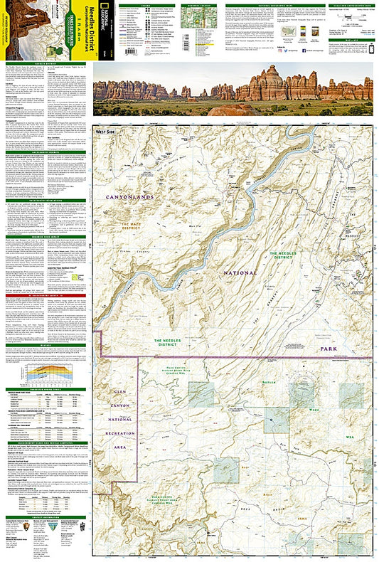
Canyonlands NP Needles District Trails Illustrated Topo Map #311
Regular price $14.95 USDRegular priceUnit price per -
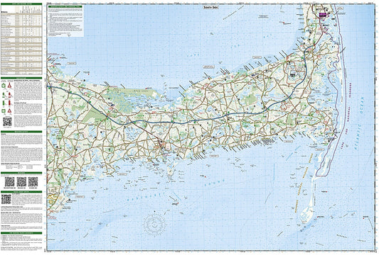
Cape Cod Trails Illustrated Topographic Map #250
Regular price $14.95 USDRegular priceUnit price per -
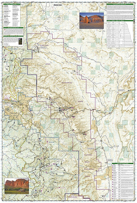
Capitol Reef National Park Trails Illustrated Topographic Map #267
Regular price $14.95 USDRegular priceUnit price per -
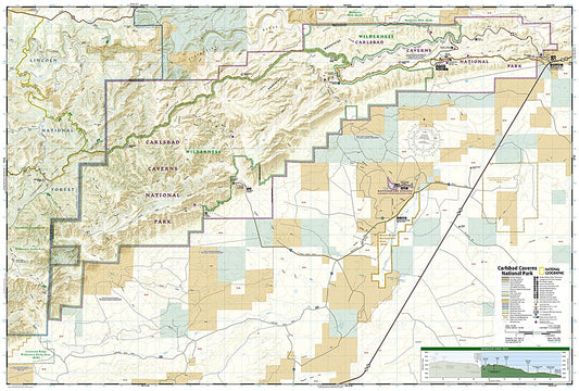
Carlsbad Caverns National Park Trails Illustrated Topographic Map #247
Regular price $14.95 USDRegular priceUnit price per -
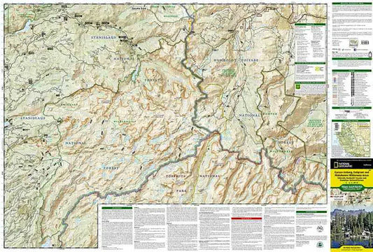
Carson-Iceberg, Emigrant & Mokelumne Wilderness Areas Map #807
Regular price $14.95 USDRegular priceUnit price per -
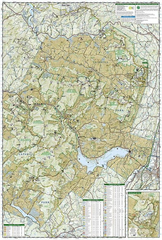
Catskill Park Trails Illustrated Topographic Map #755
Regular price $14.95 USDRegular priceUnit price per -
Cedar City & Markagunt Plateau Trails Illustrated Topographic Map #702
Regular price $14.95 USDRegular priceUnit price per -
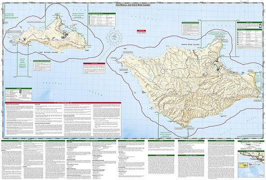
Channel Islands National Park Trails Illustrated Topographic Map #252
Regular price $14.95 USDRegular priceUnit price per -
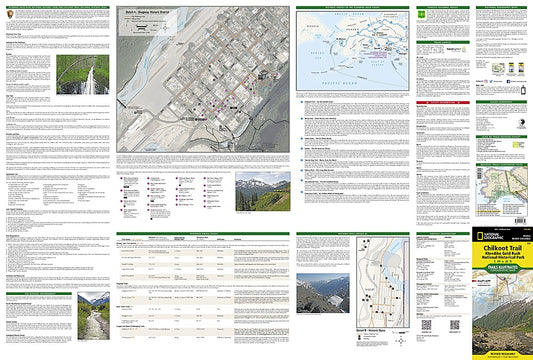
Chilkoot Trail/Klondike Gold Rush Trails Illustrated Topo Map #254
Regular price $14.95 USDRegular priceUnit price per -
Chugach State Park Trails Illustrated Topographic Map #764
Regular price $14.95 USDRegular priceUnit price per -
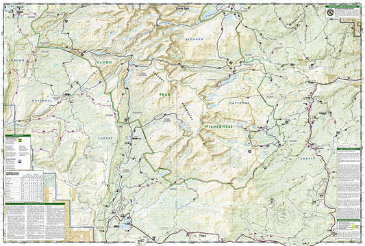
Cloud Peak Wilderness Trails Illustrated Topographic Map #720
Regular price $14.95 USDRegular priceUnit price per