National Geographic
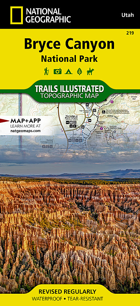
Bryce Canyon National Park Trails Illustrated Topographic Map #219
Bryce Canyon National Park Trails Illustrated Topographic Map #219
Couldn't load pickup availability
Share
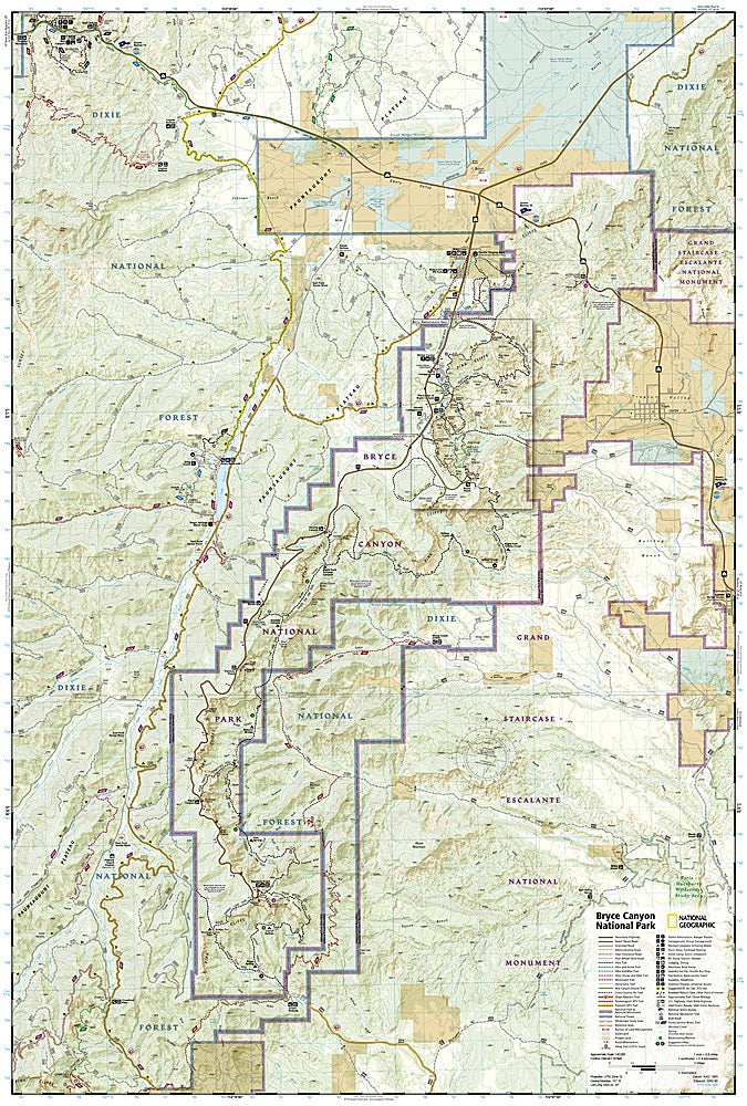
Explore the wonder of southern Utah with the Bryce Canyon National Park Trails Illustrated Topographic Map #219 by National Geographic. Covering the park’s iconic hoodoo-filled amphitheaters and surrounding landscapes, this waterproof, tear-resistant map is your essential guide to adventure. Discover top attractions like Rainbow Point’s sweeping vistas, the stunning arch of Natural Bridge, and the welcoming hub of Ruby’s Inn. Detailed trail summaries highlight routes for backpacking, day hikes, horseback riding, and even cross-country skiing, with mileages marked between intersections for easy planning.
Steeped in history, Bryce Canyon was named after Mormon settler Ebenezer Bryce in the late 1800s and later became a national park in 1928. The map also includes portions of Grand Staircase-Escalante National Monument and Dixie National Forest, adding even more exploration opportunities. Complete with contour lines, elevation data, and a full UTM grid for GPS navigation, this map ensures you can confidently explore one of America’s most breathtaking geological treasures.
SKU: SKU:TRA219
View full details