National Geographic
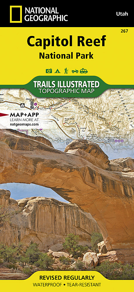
Capitol Reef National Park Trails Illustrated Topographic Map #267
Capitol Reef National Park Trails Illustrated Topographic Map #267
Couldn't load pickup availability
Share
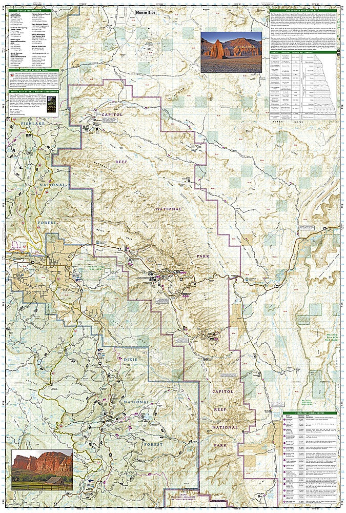
Explore the stunning landscapes of south-central Utah with National Geographic’s Capitol Reef National Park Trails Illustrated Topographic Map #267. Nestled in the dramatic Waterpocket Fold, this hidden gem features towering red cliffs, the historic Fruita orchards, and the iconic Hickman Bridge, making it a paradise for hikers, bikers, and equestrian adventurers. The map also highlights scenic drives along Highway 24 and key trailheads throughout the park, including portions of the Great Western Trail.
Designed in collaboration with local land management agencies, this detailed map covers Capitol Reef and surrounding areas such as Anasazi State Park, Fishlake National Forest, and Grand Staircase-Escalante National Monument, providing essential context for your adventures. Historical sites, geological formations, and recommended day hikes are clearly marked, along with mileage, campgrounds, and safety tips. Printed on waterproof, tear-resistant paper with a full UTM grid, this Trails Illustrated map ensures you can confidently navigate every hidden corner of Utah’s red rock country.
SKU: SKU:TRA267
View full details