National Geographic
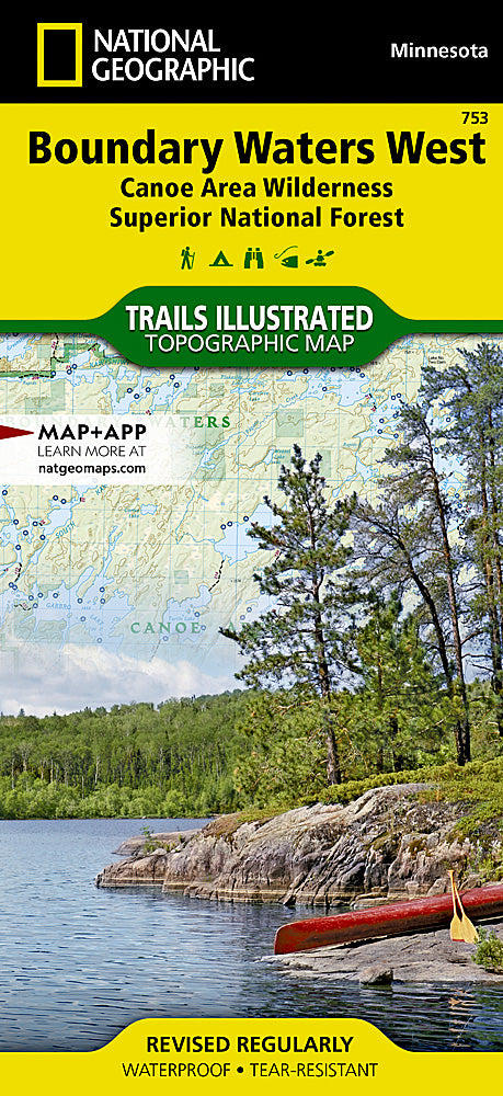
Boundary Waters Canoe Area Wilderness West Trails Illustrated Map #753
Boundary Waters Canoe Area Wilderness West Trails Illustrated Map #753
Couldn't load pickup availability
Share
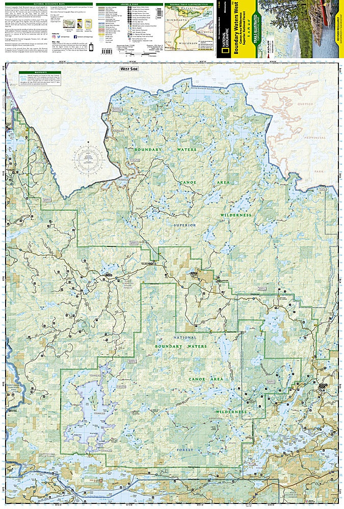
Paddle into one of North America’s most iconic wilderness areas with the Boundary Waters Canoe Area Wilderness West Trails Illustrated Map #753 by National Geographic. Covering the pristine waterways of northern Minnesota, this map is your key to exploring legendary attractions like the scenic Echo Trail, the sprawling waters of Burntside Lake, and the historic Kekekabic Trail—once used by Native peoples and early fur traders. The region’s 1,500 miles of canoe routes, 2,200 campsites, and over 1,000 lakes make it a paradise for paddlers, anglers, and hikers alike.
Expertly researched in collaboration with local agencies, the map features hiking, biking, ATV, and snowmobile trails, plus essential details like watercraft horsepower limits, customs points, and fishing access. Waterproof and tear-resistant, it’s built for adventure. Whether spotting wildlife at the International Wolf Center or navigating the Little Indian Sioux River, this map ensures you’ll explore the Boundary Waters with confidence and unforgettable views.
SKU: SKU:TRA753
View full details