National Geographic
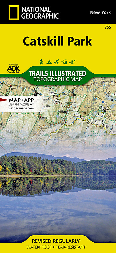
Catskill Park Trails Illustrated Topographic Map #755
Catskill Park Trails Illustrated Topographic Map #755
Couldn't load pickup availability
Share
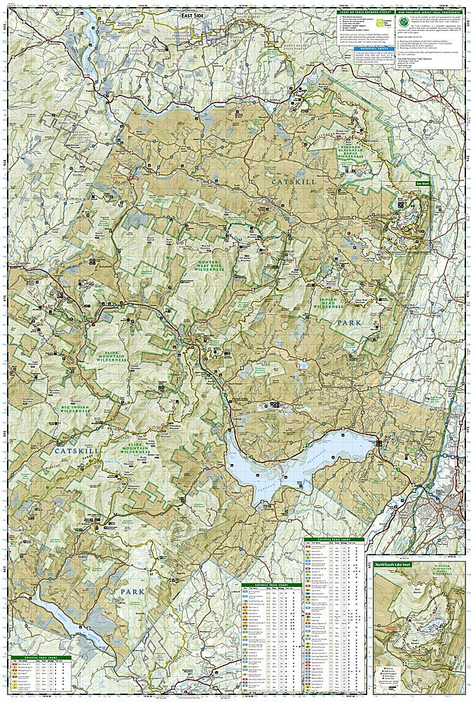
National Geographic’s Catskill Park Trails Illustrated Topographic Map #755 is the ultimate companion for hikers, bikers, and nature lovers exploring New York’s iconic Catskills. Covering over 700,000 acres of forests, mountains, rivers, and lakes, this map highlights top attractions like Slide Mountain Wilderness, the Ashokan Reservoir, and North/South Lake, where history and natural beauty converge.
The Catskills have long drawn adventurers, artists, and early conservationists, and this map captures the rich heritage of a region that inspired the Hudson River School painters and early American environmental preservation. Detailed topography, contour lines, and elevations guide you through peaks like Belle Ayr Mountain and along scenic waterways like the Schoharie Reservoir.
Trail charts show mileage, difficulty, and uses, while additional features mark waterfalls, swimming areas, boat launches, and covered bridges. Printed on durable, waterproof paper with a full UTM grid, this map ensures you navigate the Catskills confidently, whether on foot, by bike, or by car.
SKU: SKU:TRA755
View full details