National Geographic
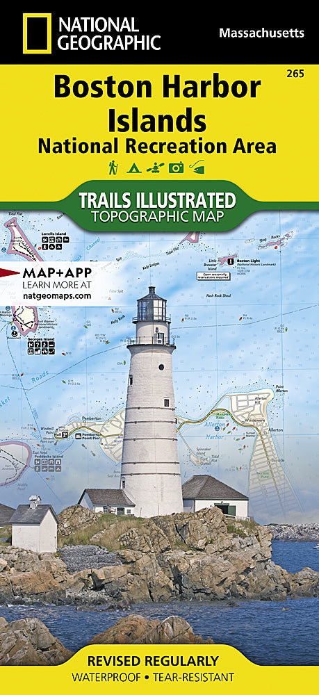
Boston Harbor Islands Trails Illustrated Topographic Map #265
Boston Harbor Islands Trails Illustrated Topographic Map #265
Couldn't load pickup availability
Share
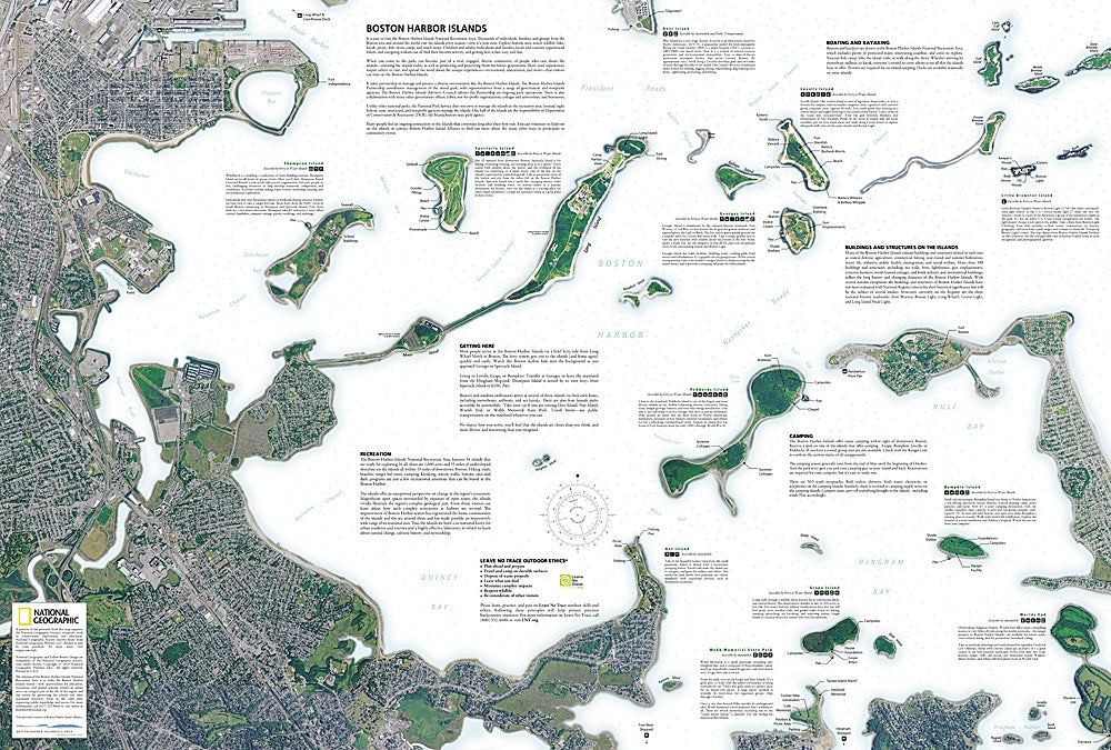
Explore Boston’s coastal treasures with the Boston Harbor Islands Trails Illustrated Topographic Map #265 by National Geographic. Just minutes from downtown, the Boston Harbor Islands National Recreation Area offers a unique blend of history, nature, and adventure. This detailed, waterproof, and tear-resistant map covers all 34 islands, nearby shorelines, and downtown Boston, combining topography, bathymetry, and high-resolution satellite imagery for unmatched clarity.
Plan visits to top attractions like historic Fort Warren on Georges Island, the sweeping views from Spectacle Island, and the serene hiking trails of Lovells Island. Discover centuries of history, from Revolutionary War defenses to maritime trade routes that shaped Boston’s growth.
Ferry routes, water taxi stations, docks, and boat ramps are clearly marked, along with trails, campsites, fishing areas, and wildlife viewing spots. Whether you’re kayaking, birdwatching, or exploring hidden beaches, this map is the ultimate guide to Boston’s most scenic maritime playground.
SKU: SKU:TRA265
View full details