National Geographic
Cape Cod Trails Illustrated Topographic Map #250
Cape Cod Trails Illustrated Topographic Map #250
Couldn't load pickup availability
Share
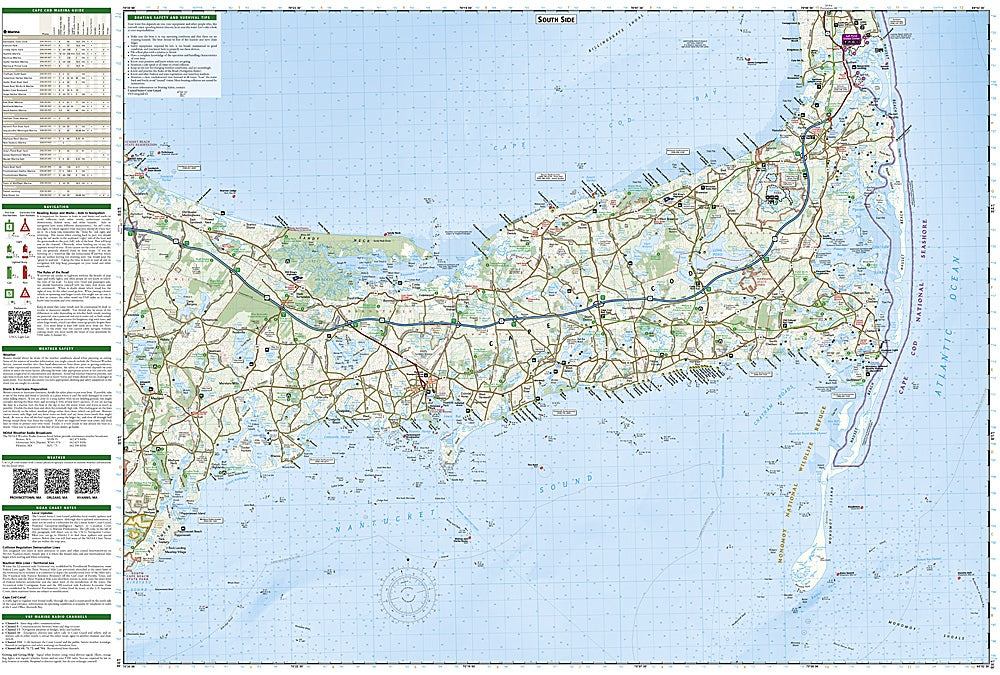
Explore the iconic Cape Cod like never before with National Geographic’s Trails Illustrated Topographic Map #250. Covering the Upper, Mid, and Outer Cape, this detailed map guides you from historic Sandwich and Mashpee to the breathtaking Cape Cod National Seashore and lively Provincetown Harbor.
Hike, bike, or stroll along the famous Cape Cod Rail Trail, wander the sandy stretches of Nauset Beach, or spot wildlife at Monomoy National Wildlife Refuge, all with trails clearly marked and color-coded for easy navigation. History comes alive as you traverse centuries-old towns along the Old King’s Highway, dotted with lighthouses, colonial landmarks, and charming villages. Boaters will find essential information including marinas, tidal flats, navigation buoys, and QR codes linking to the U.S. Coast Guard Navigation Center for up-to-date conditions.
Printed on waterproof, tear-resistant paper with a full UTM grid, this map ensures you can confidently explore Cape Cod’s rich geography, recreation spots, and coastal heritage on land or water.
SKU: SKU:TRA250
View full details