National Geographic
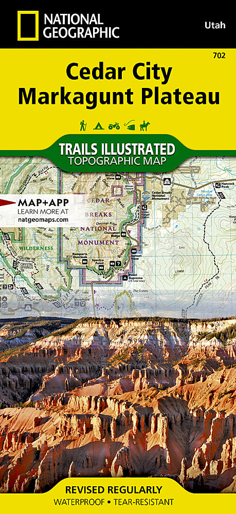
Cedar City & Markagunt Plateau Trails Illustrated Topographic Map #702
Cedar City & Markagunt Plateau Trails Illustrated Topographic Map #702
Couldn't load pickup availability
Share
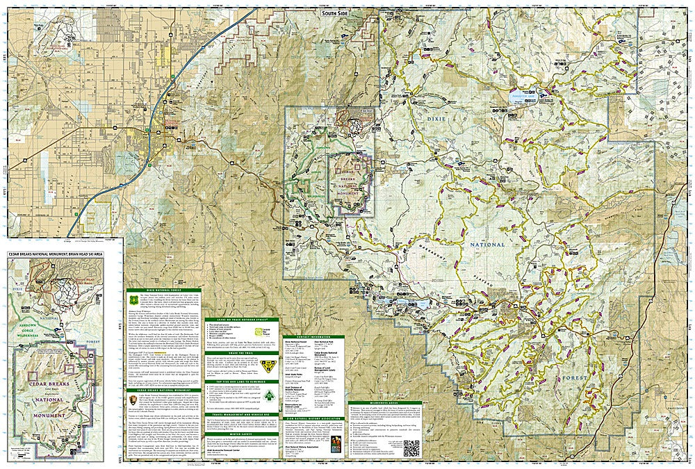
Explore the stunning landscapes of southern Utah with National Geographic’s Cedar City & Markagunt Plateau Trails Illustrated Topographic Map #702. This detailed map highlights the Markagunt OHV Trail System, stretching from the iconic Pink Cliffs to Parowon Valley and the charming town of Panguitch.
Outdoor enthusiasts will love Cedar Breaks National Monument, with its high-elevation meadows and world-class stargazing, while Navajo Lake offers prime fishing, boating, and swimming opportunities. The dramatic red limestone Hurricane Cliffs provide breathtaking scenic views and a perfect backdrop for photography. Steeped in history, the area reflects centuries of Native American heritage and pioneer settlements. The map is packed with recreation details, including trailheads, campgrounds, ski areas, scenic drives, and mountain bike routes, all marked with contour lines, elevations, and shaded relief.
Printed on waterproof, tear-resistant paper with a full UTM grid, this map ensures safe navigation and adventure, including a detailed inset of Brian Head Ski Area and Cedar Breaks National Monument.
SKU: SKU:TRA702
View full details