National Geographic
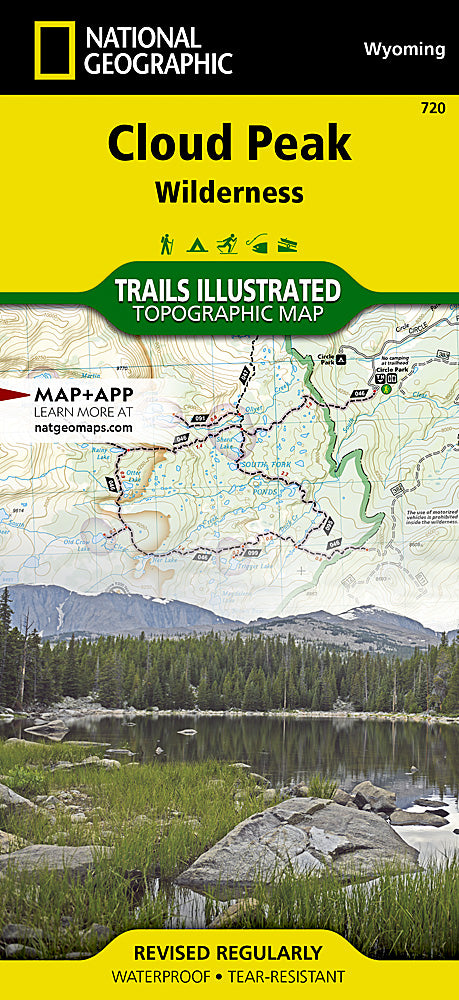
Cloud Peak Wilderness Trails Illustrated Topographic Map #720
Cloud Peak Wilderness Trails Illustrated Topographic Map #720
Couldn't load pickup availability
Share
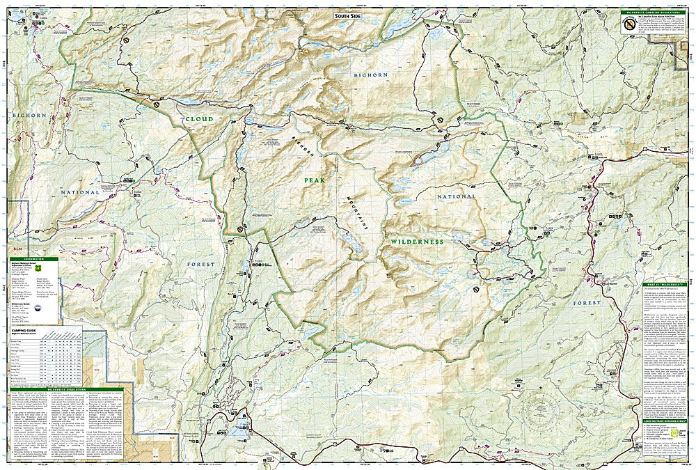
Discover the wild beauty of Wyoming with the Cloud Peak Wilderness Trails Illustrated Topographic Map #720 by National Geographic. Covering nearly 200,000 acres in the heart of the Bighorn Mountains, this waterproof, tear-resistant map is the ultimate tool for hikers, backpackers, and outdoor enthusiasts. Highlights include Cloud Peak itself, the highest point in the Bighorns at 13,167 feet, spectacular Mistymoon Lake with its alpine scenery, and Highland Park, a favorite for wildlife viewing and wildflower-filled meadows.
This rugged wilderness has a rich history, once home to Native American tribes and later traversed by explorers and ranchers. Today, it remains a pristine escape with countless trails winding past crystal-clear lakes, dramatic peaks, and expansive forests. The map details trailheads, mileage, contour lines, campgrounds, fishing spots, and recreational areas, making it easy to plan your adventure. Perfect for navigating, exploring, and experiencing one of Wyoming’s most breathtaking landscapes.
SKU: SKU:TRA720
View full details