National Geographic
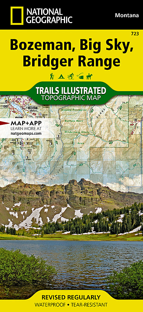
Bozeman, Big Sky, Bridger Range Trails Illustrated Topo Map #723
Bozeman, Big Sky, Bridger Range Trails Illustrated Topo Map #723
Couldn't load pickup availability
Share
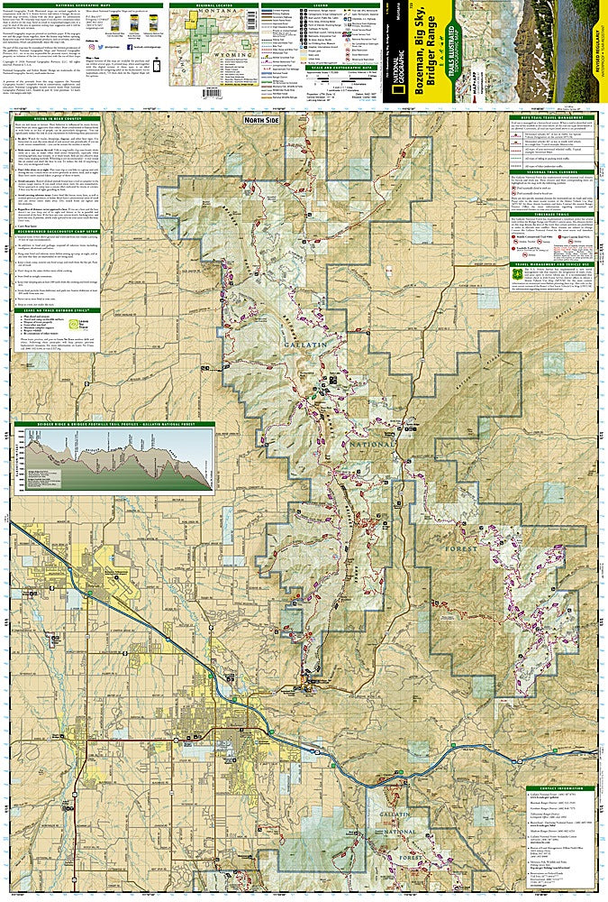
Discover Montana’s rugged beauty with the Bozeman, Big Sky, Bridger Range Trails Illustrated Topographic Map #723 by National Geographic. Covering the stunning Bridger and Gallatin ranges, this waterproof, tear-resistant map guides you to iconic attractions like Hyalite Reservoir’s shimmering alpine waters, the challenging Bridger Ridge Trail, and the ancient Gallatin Petrified Forest. Rich in history, the region was once home to Native American tribes and later became a hub for gold prospectors and homesteaders in the 19th century.
Expertly researched with local agencies, the map highlights Gallatin National Forest, Lee Metcalf Wilderness, and stretches of the Yellowstone and Gallatin rivers. Detailed trail mileage, seasonal closures, and profiles help you plan your perfect hike, ride, or ski adventure. Campgrounds, fishing spots, and boat launches are clearly marked for year-round exploration. Whether summiting peaks or wandering forested valleys, this map ensures you navigate Montana’s wild heart with confidence and ease.
SKU: SKU:TRA723
View full details