National Geographic
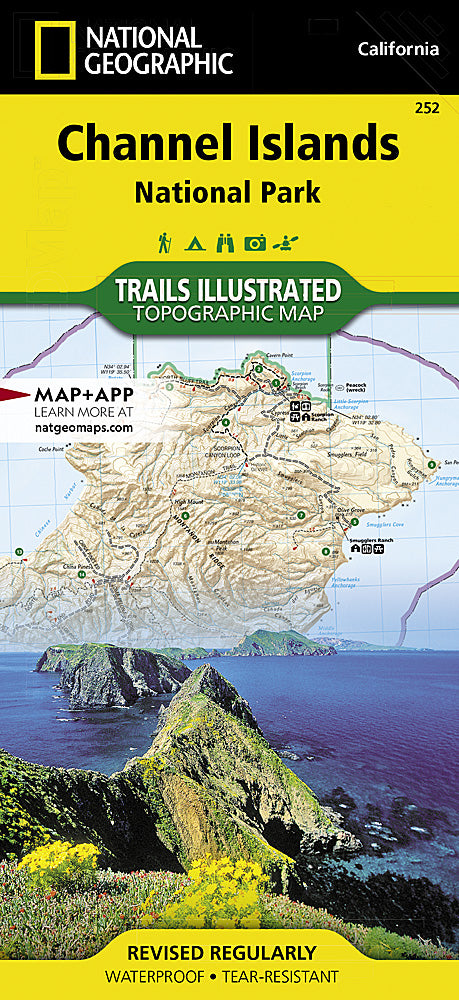
Channel Islands National Park Trails Illustrated Topographic Map #252
Channel Islands National Park Trails Illustrated Topographic Map #252
Couldn't load pickup availability
Share
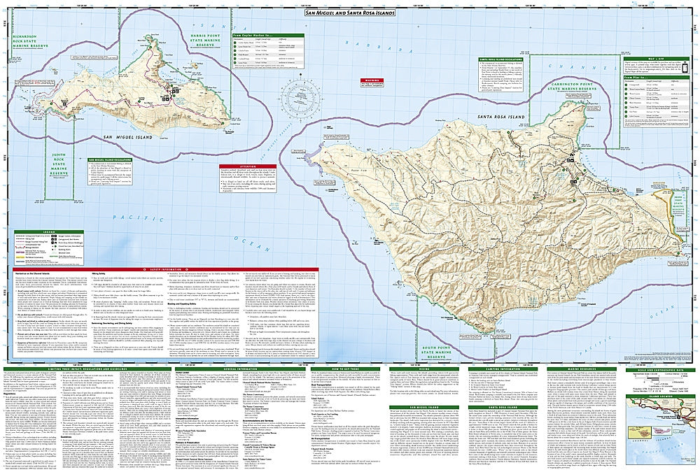
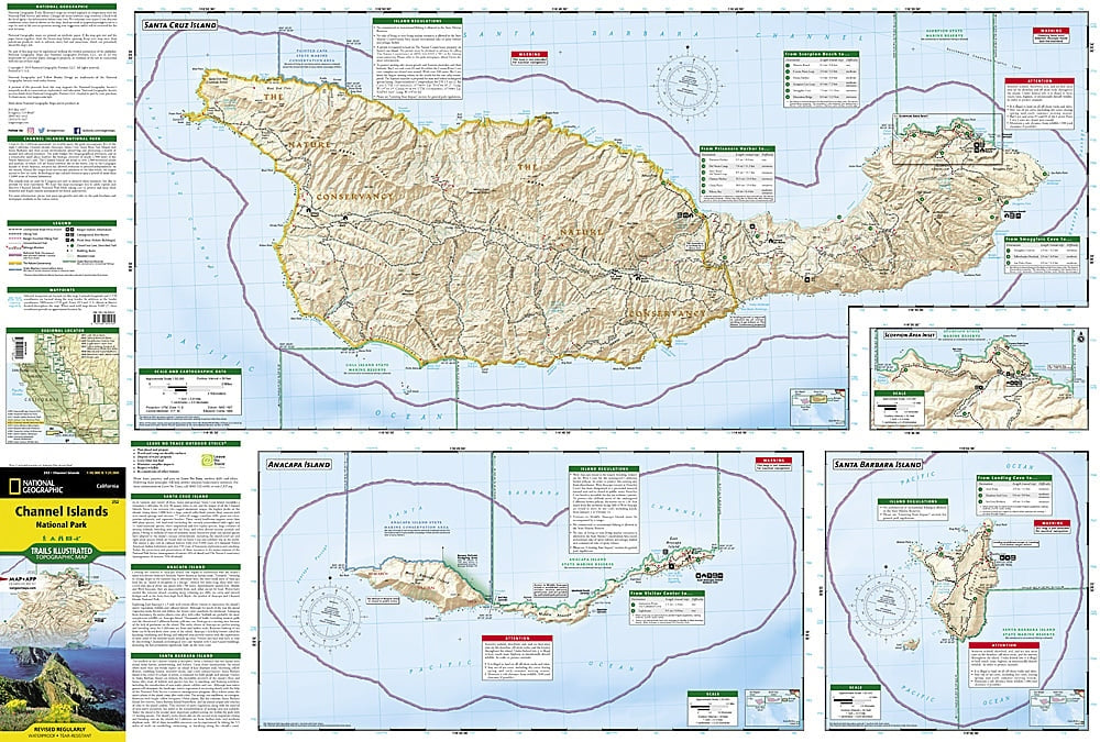
Discover the wild beauty of California’s Channel Islands with National Geographic’s Trails Illustrated Topographic Map #252. Covering all five islands—Santa Cruz, Santa Rosa, Anacapa, San Miguel, and Santa Barbara—this map is your key to adventures like hiking to the scenic Scorpion Anchorage, exploring the towering sea cliffs of Anacapa, or visiting the historic ranch ruins on Santa Rosa Island.
The islands boast incredible wildlife, from playful sea lions and seals to rare endemic plants and birds found nowhere else on Earth. Trails are clearly marked with distances, difficulty levels, and mileage markers, while topographic details like contour lines, peaks, and shaded relief ensure confident navigation. The map also highlights campgrounds, picnic areas, ranger stations, and safe snorkeling, kayaking, and boating spots.
Printed on waterproof, tear-resistant paper with a full UTM grid, it’s the perfect companion for hikers, paddlers, and wildlife enthusiasts seeking unforgettable island adventures just off the California coast.
SKU: SKU:TRA252
View full details