National Geographic
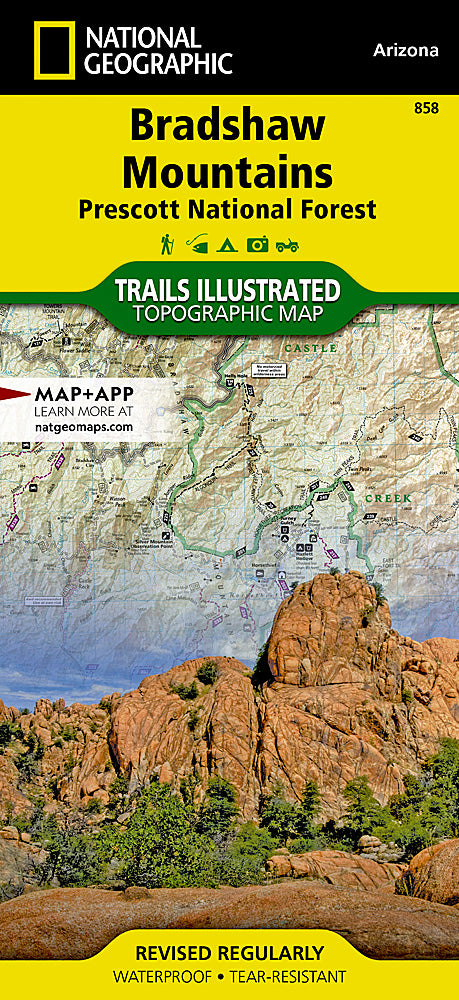
Bradshaw Mountains (Prescott NF) Trails Illustrated Topo Map #858
Bradshaw Mountains (Prescott NF) Trails Illustrated Topo Map #858
Couldn't load pickup availability
Share
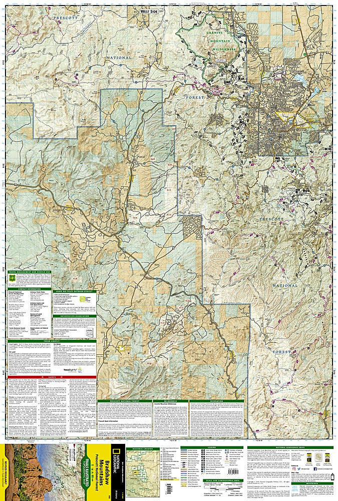
Explore Arizona’s rugged beauty with the Bradshaw Mountains (Prescott National Forest) Trails Illustrated Topographic Map #858 by National Geographic. This waterproof, tear-resistant map guides you through some of the region’s most captivating attractions, including the Granite Mountain Wilderness with its dramatic granite cliffs, the serene waters of Lynx Lake, and the historically rich Agua Fria National Monument, home to ancient petroglyphs and pueblo ruins. Nestled just south of Prescott and Prescott Valley, the Bradshaw Mountains have a storied past tied to gold mining booms of the late 1800s, drawing fortune seekers and shaping local history.
The map highlights motorized and non-motorized trails, including sections of the Great Western Trail, with clear contour lines, elevations, and labeled peaks for confident navigation. Whether you’re hiking, ATV riding, camping, or fishing, this detailed guide ensures you find trailheads, campgrounds, and scenic viewpoints with ease while immersing yourself in Arizona’s wild, untamed landscapes.
SKU: SKU:TRA858
View full details