Ediciones Independencia
Zacatecas, Mexico State Map
Zacatecas, Mexico State Map
Couldn't load pickup availability
Share
Sonora, Mexico State Map. Folded road map with an overview map of the whole state showing place names, archeological sites, gas stations and a distance chart. Includes city insets of Agua Prieta, Hermosillo, Caborca, Ciudad Obregon, San Luis Rio Colorado and Guaymas.
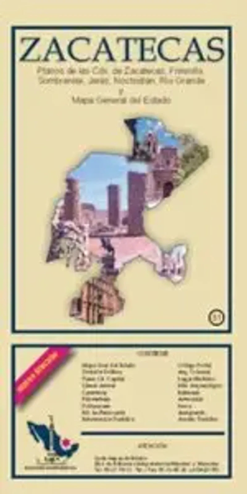
Discover the cultural richness and scenic wonders of Zacatecas, Mexico, with this folded Zacatecas Mexico Map. Unfolding to reveal a comprehensive overview of the entire state, the map clearly labels place names, highlighting key attractions and archeological sites. Essential travel information is also marked, including gas station locations and a convenient distance chart for seamless navigation.
City insets of Zacatecas, Fresnillo, Sombrerete, Jerez, Nochistlan, and Rio Grande provide detailed exploration guides, ensuring you won't miss any local gems.
Whether you're traversing historic landscapes or planning a road trip, this compact yet detailed map is your indispensable companion to unlocking the treasures of Zacatecas, Mexico.
SKU: SKU:MAPEIZAC
View full details