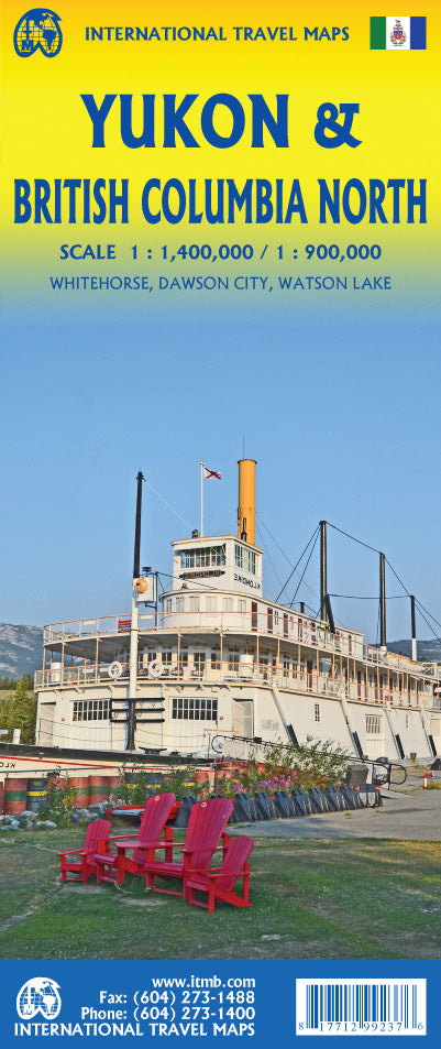

International Travel Maps
Yukon Territory & British Columbia North Travel & Reference Map
Yukon Territory & British Columbia North Travel & Reference Map
Couldn't load pickup availability
Share
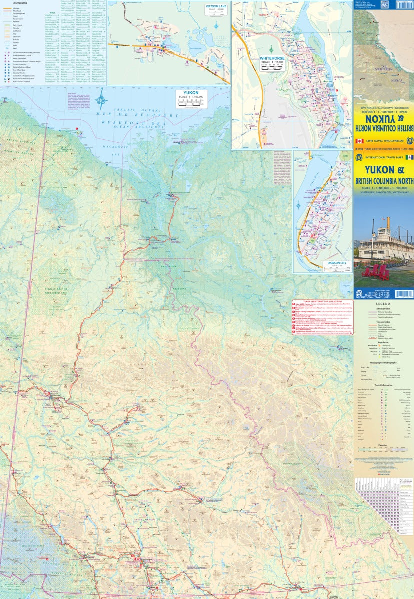
Discover the wild beauty of northern Canada with the Yukon Territory & British Columbia North Travel & Reference Map by ITMB, a double-sided, folded map at scales of 1:400,000 and 1:900,000. Perfect for adventure seekers, it highlights legendary sites like Dawson City, the historic heart of the Klondike Gold Rush, Whitehorse, the vibrant capital of the Yukon, and Watson Lake, the gateway town famous for its quirky Sign Post Forest.
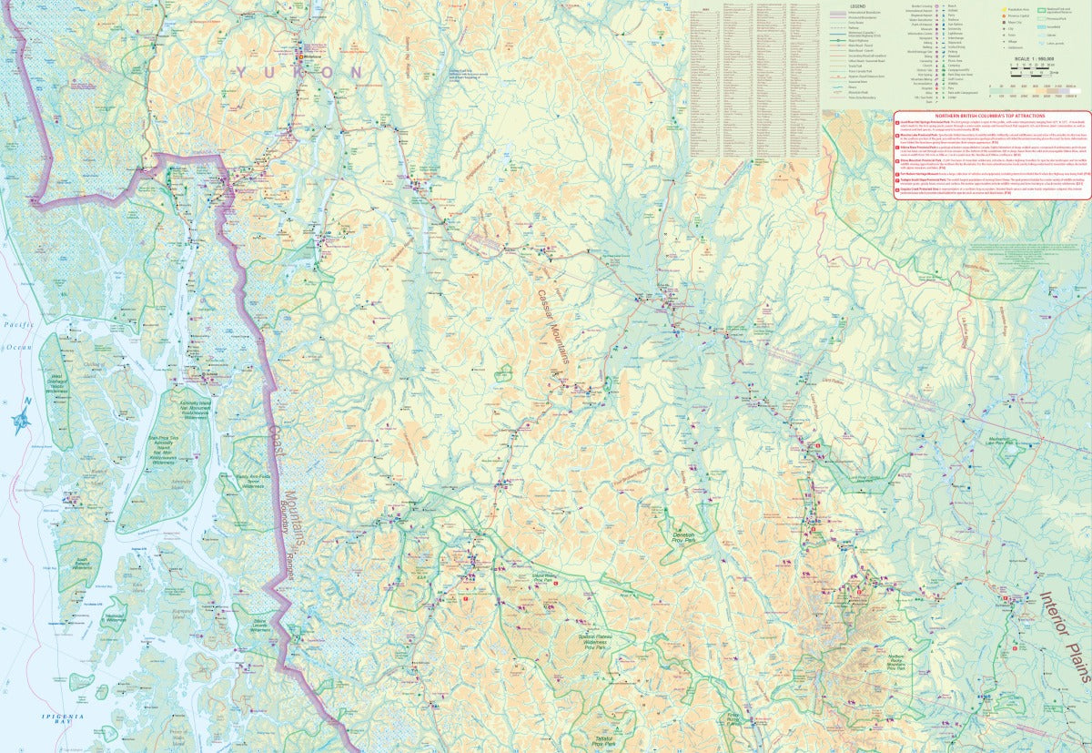
Trace the epic Alaska Highway, carved through rugged landscapes during World War II, or venture onto the Dempster Highway, the only road in Canada that reaches the shores of the Arctic Ocean. The second side features northern British Columbia and the Alaskan Panhandle, showcasing scenic routes like the Stewart Highway and ferry passages through the Inside Passage.
Packed with inset city maps, detailed legends, national parks, and major travel routes, this 27" x 39" map is an essential guide for exploring one of North America’s most breathtaking regions.
SKU: SKU:ITMYUKON
View full details