National Geographic
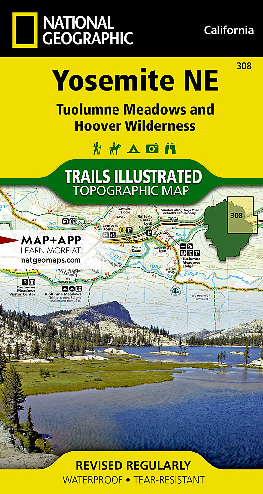
Yosemite National Park NE Trails Illustrated Topographic Map #308
Yosemite National Park NE Trails Illustrated Topographic Map #308
Couldn't load pickup availability
Share
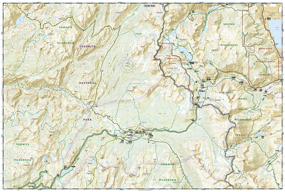
Get ready to explore one of America’s most iconic wilderness playgrounds with the Yosemite National Park NE Trails Illustrated Topographic Map #308 by National Geographic. Covering Half Dome, Tuolumne Meadows, and the dramatic Tioga Road corridor, this map is the ultimate trail companion for hikers, backpackers, and climbers alike.
Yosemite’s northeast region is packed with jaw-dropping granite peaks, alpine lakes, and lush meadows shaped by ancient glaciers. Hike past cascading waterfalls, discover the legacy of John Muir who helped establish the park in 1890, and experience trails that showcase both natural beauty and cultural history.
Printed on “Backcountry Tough” waterproof, tear-resistant paper, this map is built to handle rugged adventures. A full UTM grid makes GPS navigation a breeze, ensuring you stay on course while venturing into some of the park’s most breathtaking backcountry. Perfect for planning, exploring, and reliving your Yosemite adventures.
SKU: SKU:TRA308
View full details