Tom Harrison Maps
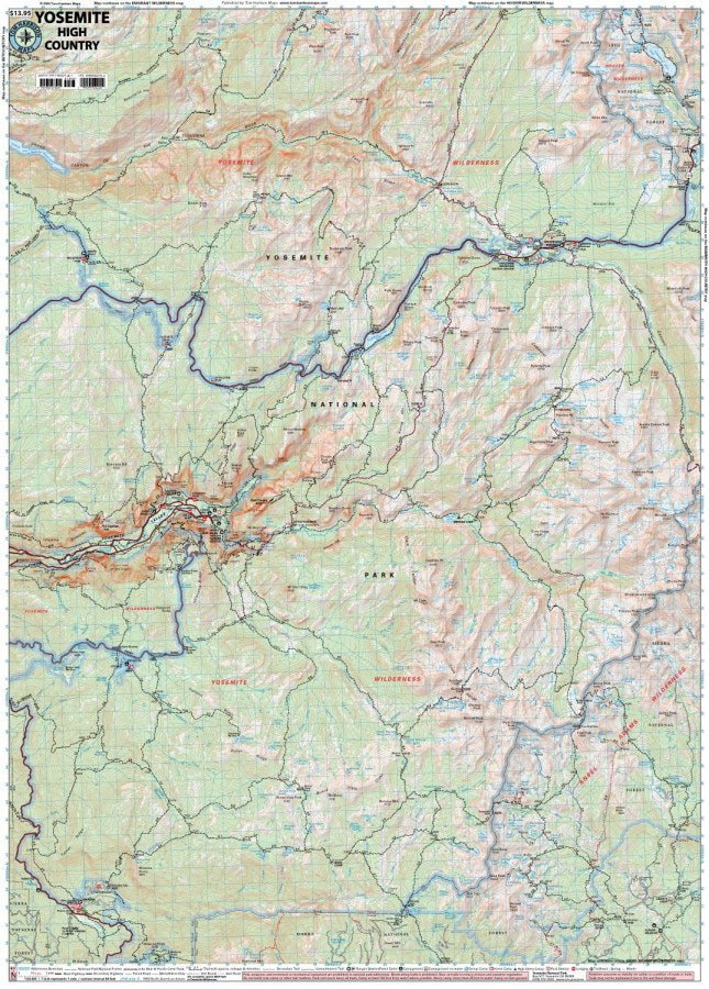
Yosemite High Country Hiking Map by Tom Harrison
Yosemite High Country Hiking Map by Tom Harrison
Couldn't load pickup availability
Share
Ready to trade the crowds for granite peaks, alpine lakes, and wild mountain trails? The Yosemite High Country Hiking Map by Tom Harrison is your go-to guide for exploring Yosemite National Park’s spectacular backcountry!
Covering trailheads from Wawona and Yosemite Valley to Tuolumne Meadows and everything in between, this detailed hiking map makes planning your next Sierra Nevada adventure a breeze. An easy-to-read scale, trail mileage, and elevation points help you navigate challenging climbs and scenic routes, including the famous John Muir Trail and the breathtaking Cathedral Lakes Trail. Find essential trailheads, campgrounds, ranger stations, equestrian facilities, bear boxes, and forest service roads to make your journey smoother. Along the way, discover fragrant Jeffrey pines, towering firs, colorful wildflowers, and wildlife such as mule deer, marmots, and black bears.
Whether you’re planning a day hike or a multi-day wilderness trek, the Tom Harrison Yosemite High Country Hiking Map delivers the dependable detail you need to explore farther and experience Yosemite’s wild side with confidence.
SKU: SKU:HARYOSHIGH
View full details