National Geographic
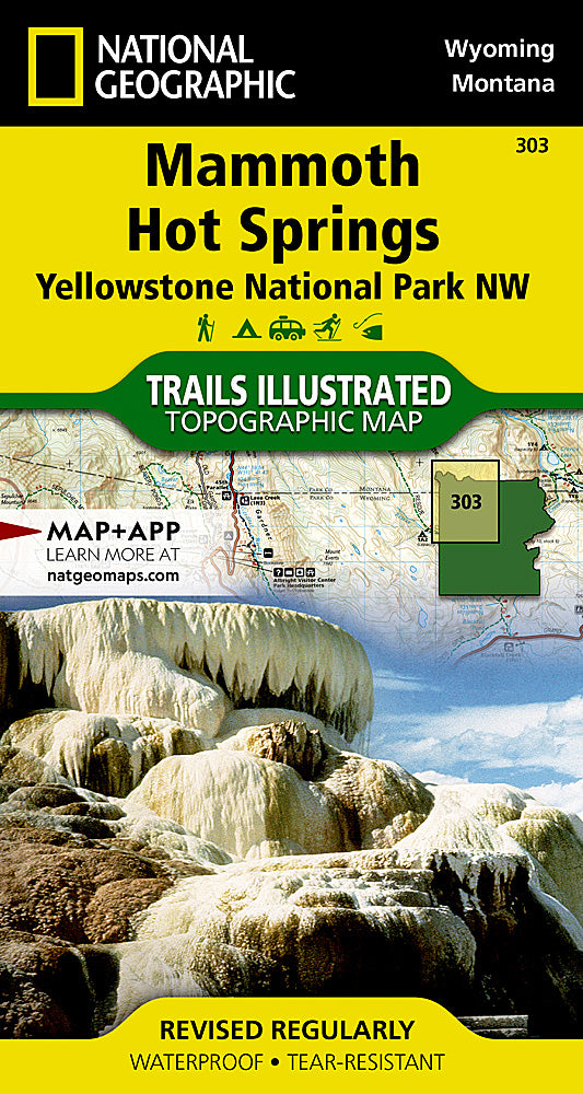
Yellowstone National Park NW Mammoth Hot Springs Topographic Map #303
Yellowstone National Park NW Mammoth Hot Springs Topographic Map #303
Couldn't load pickup availability
Share
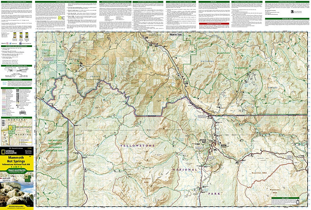
Hit the trails with confidence and uncover the wild wonders of Yellowstone’s northwest corner with National Geographic’s Trails Illustrated Topographic Map #303! Perfect for hikers, backpackers, and adventure seekers, this detailed map guides you through the iconic Mammoth Hot Springs, the colorful terraces of Norris Geyser Basin, and the breathtaking Lamar Valley, home to Yellowstone’s famed wildlife. Explore the park where the world’s first national park was established in 1872, and discover its geothermal history alongside expansive forests, rivers, and volcanic landscapes.
Every trail, contour, and scenic viewpoint is carefully rendered for easy navigation, with a full UTM grid compatible with GPS devices. Printed on waterproof, tear-resistant paper, this map holds up to the elements so your adventure never stops, rain or shine. Whether planning a weekend hike or a multi-day expedition, this map is your ultimate companion to Yellowstone’s northwest treasures.
SKU: SKU:TRA303
View full details