DeLorme
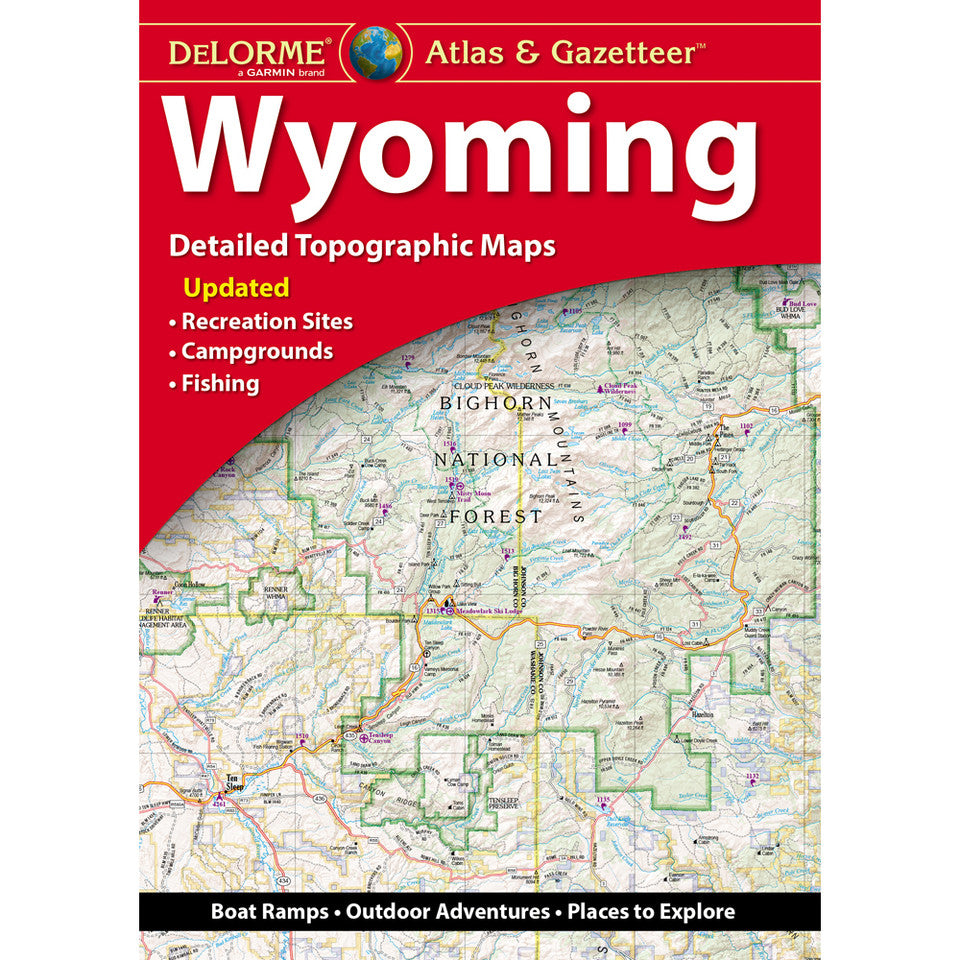
Wyoming Topographic Atlas & Gazetteer by Delorme
Wyoming Topographic Atlas & Gazetteer by Delorme
Couldn't load pickup availability
Share
Find your next favorite trail, cast a line in a mountain lake, and roam the Wild West with confidence! The Wyoming Topographic Atlas & Gazetteer by DeLorme is your ticket to big-sky adventures and backcountry discoveries.
Forget squinting at your phone or wrestling with oversized folded maps! This convenient, book-bound atlas puts 60 pages of detailed, full-color topographic maps right at your fingertips, ready to flip through, compare routes, and explore even when cell service disappears. From scenic byways and historic sites to remote trailheads, boat ramps, and promising fishing holes, Wyoming’s wild side is waiting to be discovered.
Explore the spectacular landscapes of Grand Teton National Park, the state’s second major national park destination, or head for Flaming Gorge National Recreation Area, a favorite for boating, fishing, hiking, and camping. Across the Cowboy State, discover rugged mountains, sweeping plains, and winding backroads with geographic detail that makes planning your next escape a breeze.
An extensive index, latitude/longitude grid for GPS navigation, and inset maps of Yellowstone National Park, major cities, and state lands make this atlas a practical companion for hikers, campers, anglers, and road-trippers alike.
SKU: SKU:DELWY
View full details