DeLorme
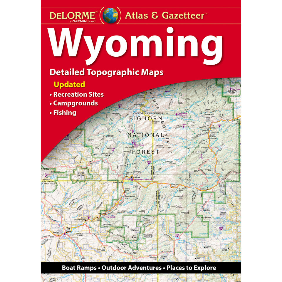
Wyoming Atlas & Gazetteer by Delorme
Wyoming Atlas & Gazetteer by Delorme
Couldn't load pickup availability
Share
This atlas of Wyoming is a great resource with roads, towns, counties and contour lines. The accompanying gazetteer is an extensive and thorough list providing helpful information such as camping locations, scenic attractions, unique natural features, bike rides, hiking, boat launches, historic sites, museums, attractions and more. Each noted feature is cross-referenced on the map pages with easy to spot bold symbols making the location of the desired feature very easy to find.
The WYOMING State atlas is done at a scale of 1:225,000 which equates to 1" = 3.55 miles. The topographic contour interval is 300 feet. There are 64 map pages, and 72 total pages in this informative recreation atlas.
The dimensions are 11" x 15.5"
SKU: SKU:DELWY
View full details