National Geographic
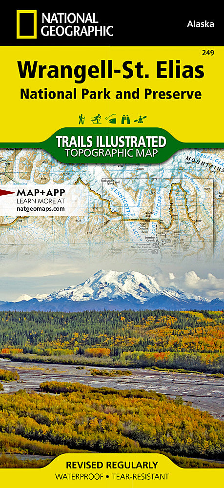
Wrangell-St. Elias National Park Trails Illustrated Topo Map #249
Wrangell-St. Elias National Park Trails Illustrated Topo Map #249
Couldn't load pickup availability
Share
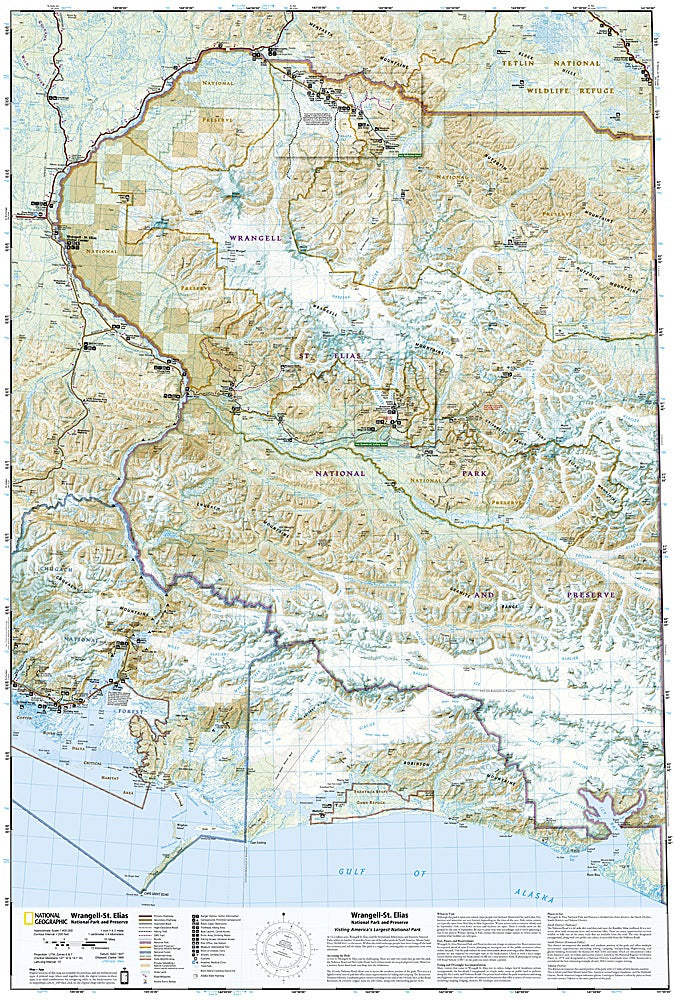
Discover the wild heart of Alaska with the Wrangell-St. Elias National Park Trails Illustrated Topographic Map #249 by National Geographic. Covering America’s largest national park, this rugged, waterproof, tear-resistant map is your ticket to adventure in a land of towering peaks, sprawling glaciers, and untamed wilderness.
Explore the awe-inspiring Nabesna Glacier, trek to the historic Kennecott Mines, or marvel at the massive icefields of Root Glacier. Wrangell-St. Elias is not only a UNESCO World Heritage Site but also a living monument to frontier history, where remnants of the early 1900s copper boom still dot the landscape. Stretching across 13.2 million acres, this park shares borders with Canada’s Kluane National Park, creating one of the largest protected wilderness areas on Earth.
With detailed topography, trail routes, and a full UTM grid for GPS use, this map ensures hikers, climbers, and backpackers are ready for every step of their Alaskan adventure.
SKU: SKU:TRA249
View full details