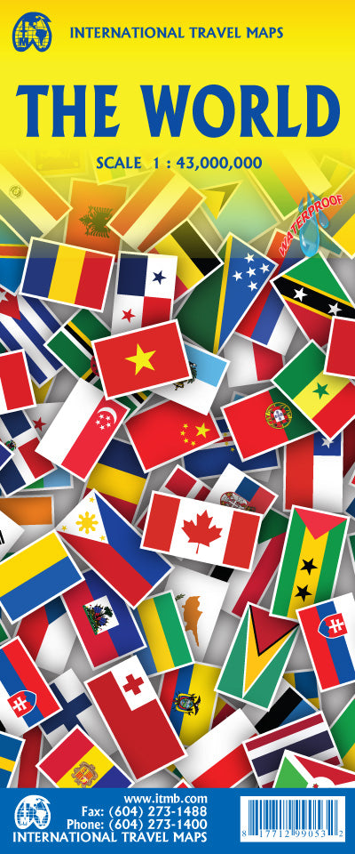
International Travel Maps
World Folded Map & Country Flags Reference Graphic by ITMB
World Folded Map & Country Flags Reference Graphic by ITMB
Couldn't load pickup availability
Share
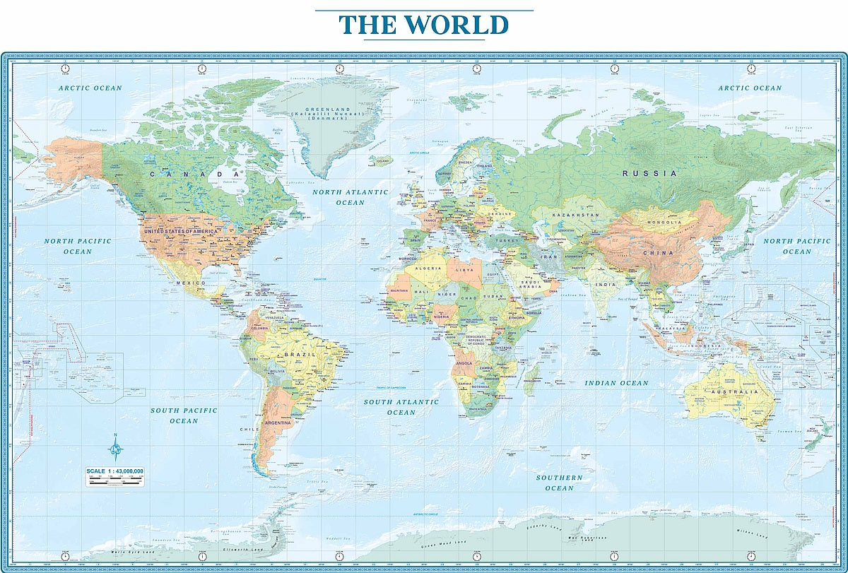
Discover the world in a colorful and engaging way with ITMB’s World Folded Map & Country Flags Reference Graphic. This double-sided, easy-to-use map provides a clear political view of the globe, highlighting national borders, provincial and state boundaries in larger countries, and a wide selection of cities. Helpful time zone clocks along the margins make it an excellent tool for travelers, students, and anyone curious about global connections.
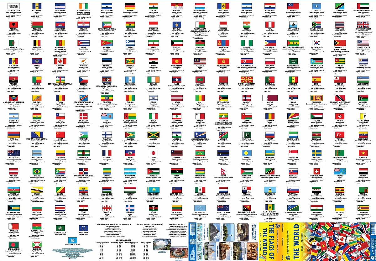
On the reverse side, explore an eye-catching display of every accepted country’s flag, alphabetically arranged for quick reference. Each flag is paired with key details such as the nation’s area, population, capital city, and map location, making it both a learning resource and a conversation piece.
Compact, portable, and packed with information, this folded world map is perfect for classrooms, offices, or home use. Whether for study, travel planning, or simply sparking curiosity, it offers a fun and informative look at our planet.
SKU: SKU:ITMWORLD
View full details