Rand McNally
Wisconsin State Highway Laminated Map by Rand McNally - Easy to Fold
Wisconsin State Highway Laminated Map by Rand McNally - Easy to Fold
Couldn't load pickup availability
Share
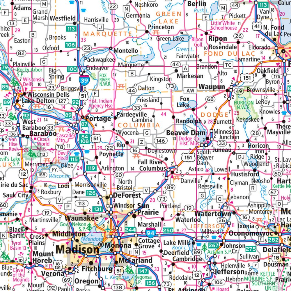
Jumpstart your next "Badger State" adventure with a map that grabs your attention from the very first glance. The Wisconsin State Highway Laminated Map by Rand McNally is built for travelers who want durability, clarity, and zero digital guesswork on the open road. Its wipe-clean, heavy-duty laminated surface lets you mark routes, jot notes, and update plans without wearing out your map—perfect for road trips that stretch across Wisconsin’s 1,250 miles of state highways.
Designed to fold easily without the usual fumbling, this tear-resistant map displays crisp, full-color cartography with clearly marked highways, county lines, and must-see attractions. Alongside popular routes, you’ll also spot lesser-known gems like the stunning Driftless Area’s Wildcat Mountain State Park, a road trip destination many travelers overlook.
With an intuitive legend, handy city index, and sectional folding for quick access, this laminated map is the reliable, reusable travel companion every Wisconsin explorer needs.
SKU: SKU:RMCUSWIE
View full details