Rand McNally
Wisconsin State Highway Folded Map by Rand McNally - Easy to Read
Wisconsin State Highway Folded Map by Rand McNally - Easy to Read
Couldn't load pickup availability
Share
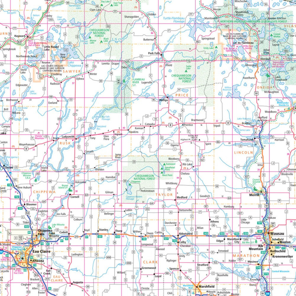
Discover the best of the "Badger State" with the Wisconsin State Highway Folded Map by Rand McNally—your road trip’s secret weapon from the very first mile. If you’re tired of zooming, swiping, and losing service, this easy-to-read paper map gives you the big-picture confidence that online maps simply can’t match.
Packed with Rand McNally’s trusted cartography, this regularly updated, full-color map features larger print for effortless reading and clearly labeled Interstate, U.S., state, and county highways. You’ll find parks, airports, county boundaries, and dozens of points of interest right at your fingertips. The quick-reference legend and detailed index make planning, routing, and exploring incredibly simple.
And for a must-see hidden gem? Don’t miss the jaw-dropping Cave of the Mounds, a lesser-known natural wonder perfect for a memorable detour. Conveniently folded and road-ready, this map is your ticket to discovering Wisconsin’s unexpected adventures.
SKU: SKU:RMCUSWI
View full details