Beartooth Publishing
Wind River Range South Hiking Map
Wind River Range South Hiking Map
Couldn't load pickup availability
Share
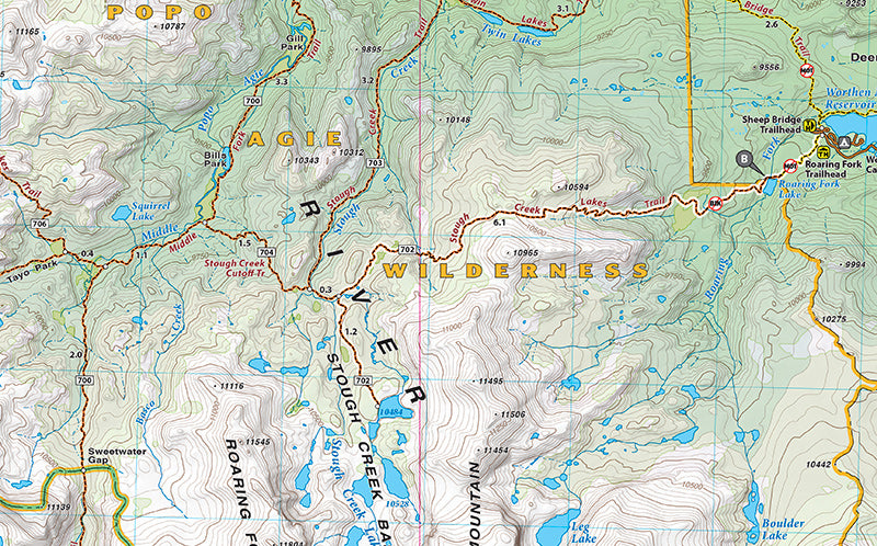
The definitive trail maps for the Wind River Range since 2010, our Wind River North and South maps were completely remade in 2020. The new editions include new trail data, more recreation sites, and new cartographic art styles. The maps’ detail shows every little lake, creek, and wetland.
This Wind River Range South map covers from the Scab Creek Trailhead, east of Pinedale, to Lander. All recreation access roads leaving from Lander are clearly noted, and all of the newest trails around Sinks Canyon and Fossil Hill have been added. This map also includes descriptions for five of the best dayhikes in the southern Winds, and a separate map for the Johnny Behind the Rocks trails.
Scale: 1:60,000
Contour Interval: 50 feet
Size Unfolded: 27.0 x 39.2 inches
Size Folded: 4.2 x 8.0 inches
SKU: SKU:BEAWRRS
View full details