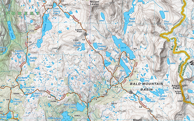
The definitive trail maps for the Wind River Range since 2010, our Wind River North and South maps were completely remade in 2020. The new editions include new trail data, more recreation sites, and new cartographic art styles. The maps’ detail shows every little lake, creek, and wetland.
This Wind River Range North map covers from the Trail Lake Road just south of Dubois to the highway junction at Boulder. All recreation access roads leaving Pinedale are clearly noted. This map also includes descriptions for five of the best dayhikes in the northern Winds.
Scale: 1:60,000
Contour Interval: 50 feet
Size Unfolded: 27.0 x 39.2 inches
Size Folded: 4.2 x 8.0 inches