1
/
of
1
NOAA
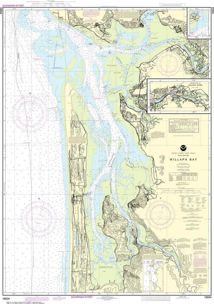
Willapa Bay (WA Coast) Nautical Chart #18504
Willapa Bay (WA Coast) Nautical Chart #18504
Regular price
$26.95 USD
Regular price
Sale price
$26.95 USD
Unit price
/
per
Couldn't load pickup availability
Share
Covering the expansive waters of Willapa Bay and the surrounding Pacific coastline, the Willapa Bay (WA Coast) Nautical Chart #18504 highlights key landmarks including Tokeland, Raymond, South Bend, Long Island, Goose Point, Bay Center, and the winding channels that have guided mariners for generations. Printed at a 1:40,000 scale on a generous 34" x 46" sheet, it reveals impressive coastal detail that's perfect for framing, studying, or displaying.
Willapa Bay has long been one of the Pacific Northwest's most productive oyster-growing regions, while nearby ports played an important role in Washington's historic timber and fishing industries during the late 1800s and early 1900s.
(View more detail in nautical chart viewer)
Please note: For decorative and reference purposes only, NOAA has officially sunset traditional paper nautical charts. These legacy charts are no longer updated or approved for primary navigation.
SKU: SKU:NOS18504
View full details