National Forest Service
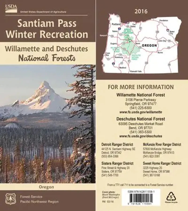
Willamette NF - Santiam Pass Winter Recreation Forest Service Map
Willamette NF - Santiam Pass Winter Recreation Forest Service Map
Couldn't load pickup availability
Share
Discover Oregon’s snowy playground with the Santiam Pass Winter Recreation Forest Service Map, your essential companion for adventure in the central Cascades! Covering the expansive Willamette and Deschutes National Forests, this waterproof, double-sided USFS map highlights thrilling snowmobile and cross-country ski trails, from beginner loops to challenging backcountry routes. Explore popular hotspots like Hoodoo Ski Area, Big Lake, and the scenic Ray Benson Sno-Park. You'll also find shelters, warming huts, and key snow park locations clearly marked.
Roam through towering Douglas firs and spot wildlife like snowshoe hares, elk, and the occasional bobcat. With a rich history rooted in logging and early pioneer travel, Santiam Pass has long served as a gateway between western and central Oregon. This map is loaded with info but never feels cluttered—perfect for planning your next winter escape. Located east of Salem, just off Highway 20, it’s time to experience Oregon’s winter magic firsthand!
ArticlesSKU: SKU:NFORSAN
View full details