National Forest Service
Willamette National Forest - McKenzie River Ranger District NFS Map
Willamette National Forest - McKenzie River Ranger District NFS Map
Couldn't load pickup availability
Share
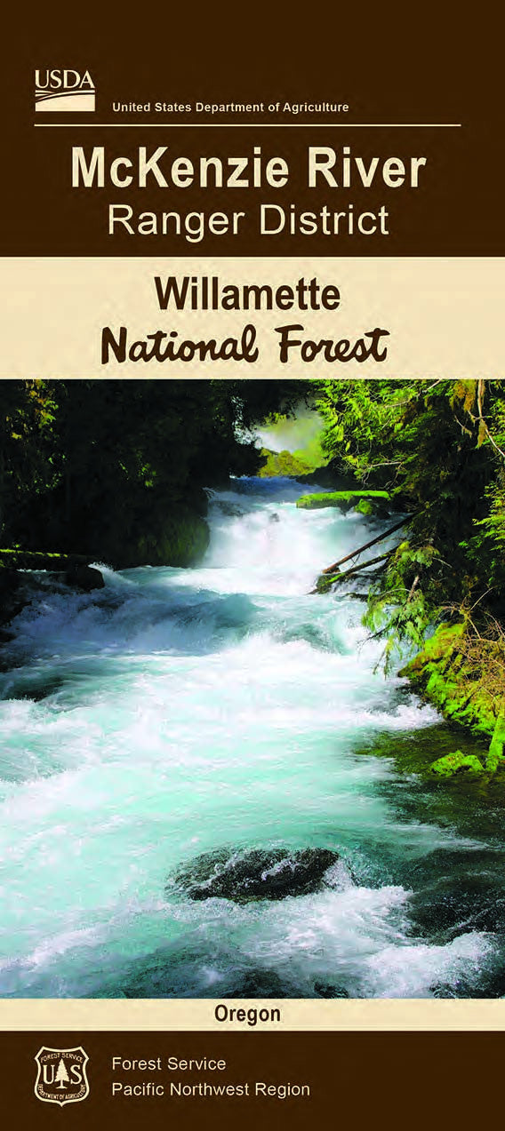
Discover the wild beauty of Oregon’s McKenzie River Ranger District with this official U.S. Forest Service map. Nestled in the Willamette National Forest, this expansive district covers over 400,000 acres of lush wilderness, offering access to three top attractions: the breathtaking Tamolitch Blue Pool, the roaring Sahalie and Koosah Falls, and the famed McKenzie River National Recreation Trail.
Hike, bike, or ride horseback through old-growth Douglas fir forests, where black-tailed deer roam and wildflowers like lupine and trillium blanket the understory. This region, shaped by ancient volcanic activity, is steeped in history—from Native Kalapuya lands to Civilian Conservation Corps-era landmarks. Located east of Eugene along Oregon Route 126, this detailed topographic map is your key to unforgettable outdoor adventures.
Waterproof and built to last, it's an essential tool for exploring the natural magic of the McKenzie River corridor. Plan your trip, hit the trail, and let nature do the rest!
SKU: SKU:NFORMCKRRD
View full details