National Forest Service
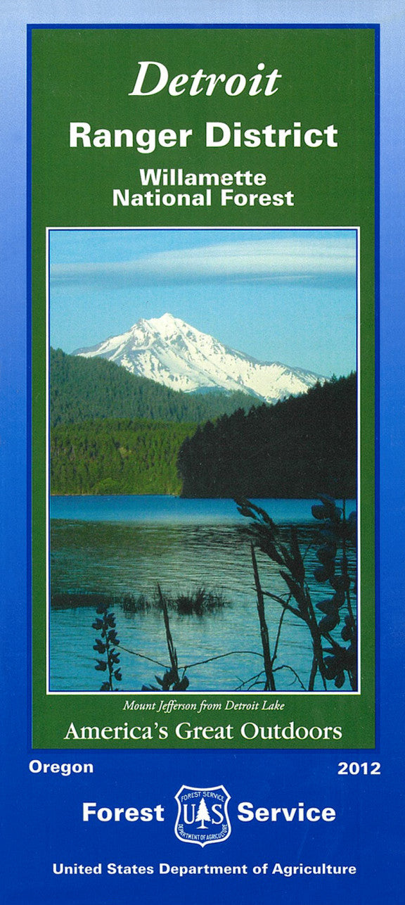
Willamette National Forest - Detroit Ranger District USFS Map
Willamette National Forest - Detroit Ranger District USFS Map
Couldn't load pickup availability
Share
Discover the wonders of Oregon’s Cascade Range with the Willamette National Forest – Detroit Ranger District Map. Covering a portion of the 1.6-million-acre forest, this detailed Forest Service map guides you through a landscape rich in natural beauty and adventure.
Explore three of the region’s top attractions: the breathtaking Opal Creek Wilderness, the towering basalt cliffs of Detroit Lake, and the dramatic cascades of Tumble Creek Falls. Located east of Salem along Highway 22, the Detroit Ranger District teems with old-growth Douglas-fir, western hemlock, and seasonal wildflowers. Wildlife lovers may spot black bears, Roosevelt elk, and bald eagles. The forest’s legacy traces back to 1933, preserving both ecological treasures and recreational access.
Whether hiking, camping, or fishing, this map is your perfect companion for exploring one of Oregon’s most scenic wilderness areas. Plan your next escape and let the Willamette lead the way.
SKU: SKU:NFORDETRD
View full details


