1
/
of
2
National Geographic
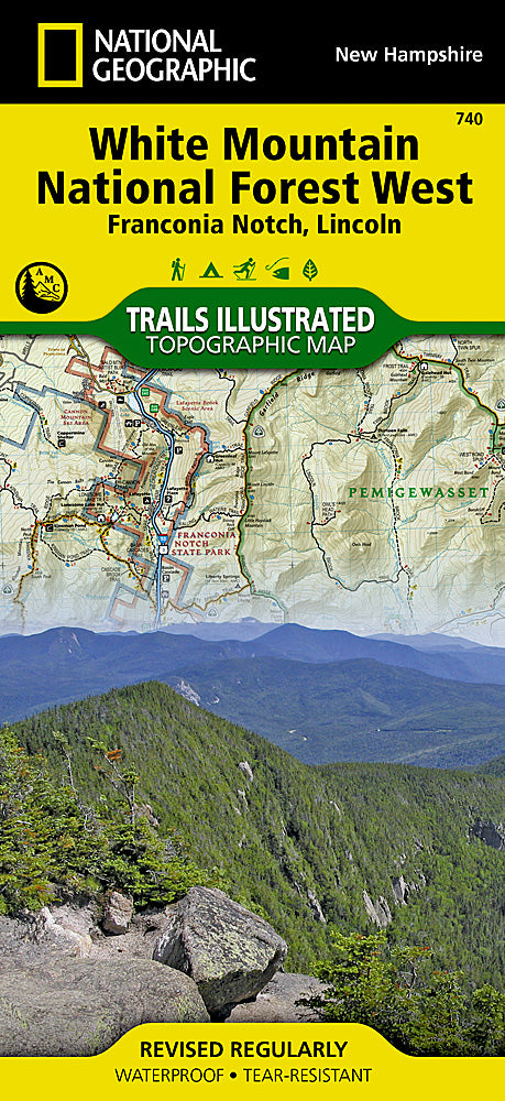
White Mountain National Forest West Trails Illustrated Topo Map #740
White Mountain National Forest West Trails Illustrated Topo Map #740
Regular price
$14.95 USD
Regular price
Sale price
$14.95 USD
Unit price
/
per
Couldn't load pickup availability
Share
Gear up for adventure in New Hampshire’s stunning White Mountain National Forest West with National Geographic’s Trails Illustrated Topographic Map #740!
Whether you’re chasing panoramic views from Mount Moosilauke, exploring the cascading waterfalls of Sabbaday Brook, or tackling the challenging Franconia Ridge Loop, this hiker-friendly map is your ultimate trail companion. Steeped in history, the forest has long been a haven for hikers and nature enthusiasts, with centuries-old logging routes and historic shelters dotting the landscape.
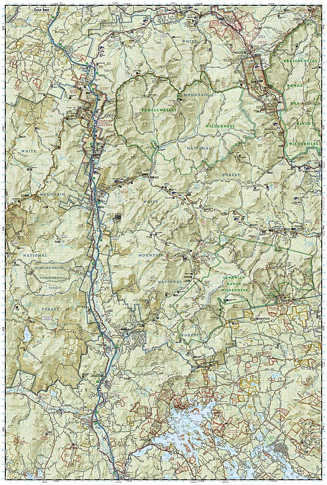
Covering the western portion of this iconic forest, the map provides detailed topography, trail networks, and landmarks to help you navigate safely and confidently. Printed on waterproof, tear-resistant paper and complete with a full UTM grid for GPS use, it’s built to withstand rugged backcountry conditions. Whether planning a day hike, a weekend trek, or a multi-day expedition, Trails Illustrated Map #740 puts the breathtaking beauty and adventure of the White Mountains right in your hands.
Articles
SKU: SKU:TRA740
View full details